Ethnic America, mapped: Your county’s biggest ancestral populations
“Very cool map shows which [ethnic] ancestries make up the largest population in each of the country’s 3,144 counties” http://www.washingtonpost.com/blogs/govbeat/wp/2014/04/18/ethnic-america-mapped-your-countys-biggest-ancestral-populations/
Using Historical US Maps for Your Research
Maps are a critical part of any research. When it comes to determining family history, ancestral lines and immigration/migration patterns, ...
Discovering Maps of Washington State and its History
Washington State borders Idaho, Oregon and Canada. It became a territory in 1853 and was not considered a State until ...
A US Map May be the Key to Your Ancestry
No matter what part of the United States you reside from, everyone is interested in their roots and family tree. ...
Tracing History with a Map of Washington State
Genealogy is a pastime and hobby that is growing in popularity thanks for television shows and specials like The Learning ...
Why a Historical US Map is a Genealogists Road to Discovery
When uncovering family history, it used to take years to discover old maps and to go through county records to ...
Planning A Road Trip with a Map of Washington State
Many people may consider summer to be the best season for a road trip, but if a person can take ...
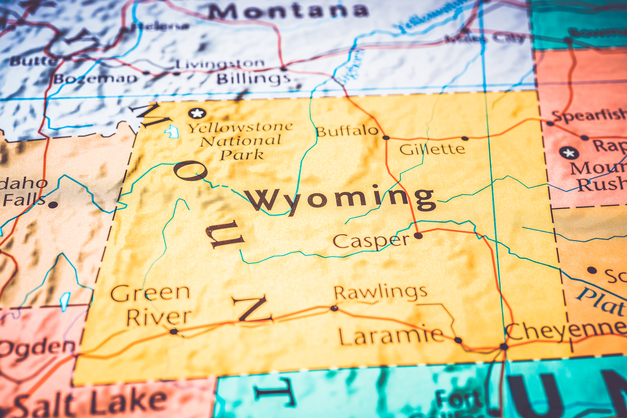
Wyoming County Maps: Interactive History & Complete List
Maps of Wyoming are an important part of research into your ancestors and family history, particularly if you live far ...
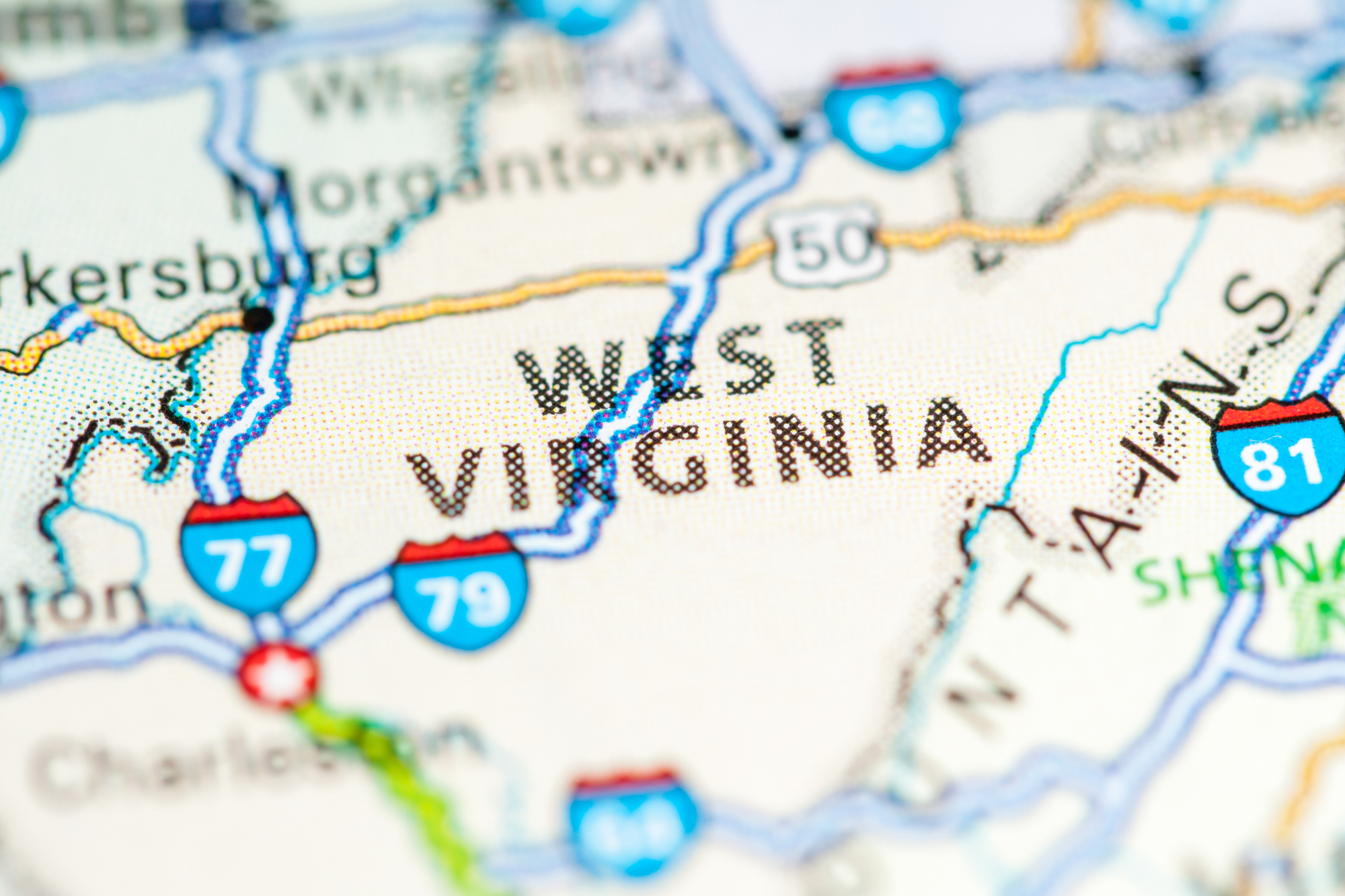
West Virginia County Maps: Interactive History & Complete List
Maps of West Virginia are an invaluable element of genealogy and family history research, particularly if you live a long ...
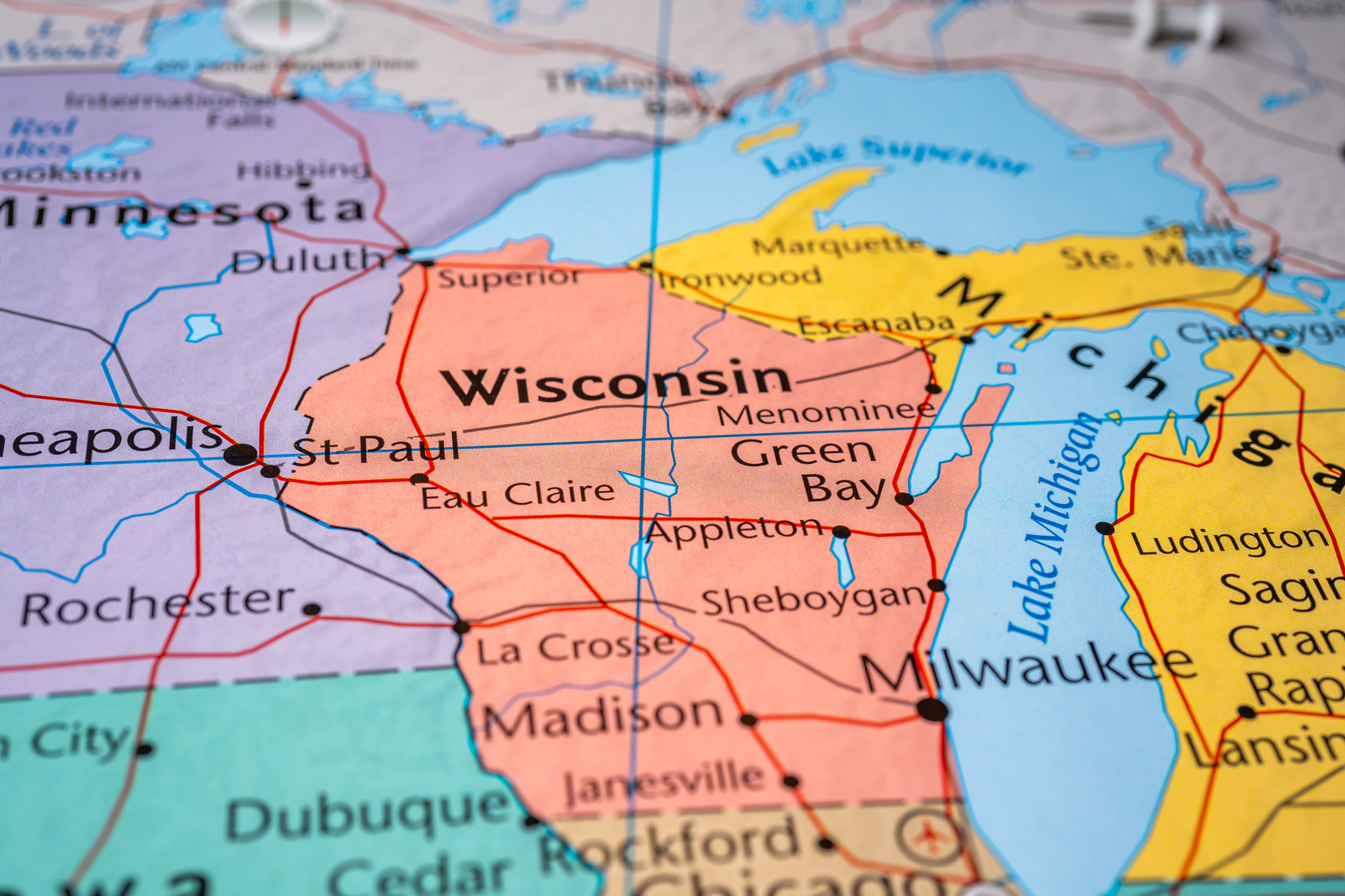
Wisconsin County Maps: Interactive History & Complete List
Maps of Wisconsin can be an important tool when it comes to genealogy and family tree research, notably in the ...