Arizona, known for its stunning desert landscapes, towering red rock formations, and vibrant cities, is a popular destination for tourists and residents alike. With its rich history and diverse culture, Arizona is a state that offers something for everyone. To help navigate this beautiful state, we have created a detailed map of Arizona with cities and highways.
This map highlights Arizona’s major cities, including Phoenix, Tucson, Flagstaff, and Sedona, as well as its primary highways and roads. Whether you’re planning a road trip or simply want to explore Arizona’s unique geography and culture, this map is an essential tool. So, grab your map and get ready to discover all that Arizona has to offer, from its bustling cities to its breathtaking natural wonders.
Printable Arizona Map With Cities and Highways
Cities
Apache Junction

Apache Junction is a city located in Pinal and Maricopa counties in Arizona. The city has a population of 38,499 people, according to the 2020 census, with most residents residing in Pinal County. The city is named after the junction of the Apache Trail and Old West Highway. The area where Apache Junction is located was previously known as Youngberg. To the east of the city lies Superstition Mountain, which is the westernmost peak of the Superstition Mountains.
Apache Junction offers stunning views of the surrounding natural beauty, including mountains, deserts, and wildlife. The city is a popular destination for outdoor enthusiasts, offering a variety of recreational activities such as hiking, camping, and rock climbing. The city also has a rich history, with several museums and historical sites that showcase the area’s past.
Bullhead City

Bullhead City is a city located on the Colorado River in Mohave County, Arizona, situated 97 miles south of Las Vegas, Nevada. The city is directly across the Colorado River from Laughlin, Nevada, which supplies much of the employment for Bullhead City through its casinos and ancillary services.
Bullhead City is located at the southern end of Lake Mohave, offering stunning views of the surrounding natural beauty. As of the 2020 census, the population of Bullhead City was 41,348, with nearby communities such as Laughlin, Needles, California, Fort Mohave, and Mohave Valley bringing the Bullhead area’s total population to over 77,000, making it the largest economic region in Mohave County.
Bullhead City covers over 60 square miles, making it the largest city in Mohave County in terms of total land area. The city is a popular destination for outdoor enthusiasts, offering a variety of recreational activities such as boating, fishing, and hiking.
Casa Grande
Casa Grande is a city located in Pinal County, approximately halfway between Phoenix and Tucson in Arizona. According to the U.S. Census estimates, the population of the city is 55,653 as of 2020. The city is named after the Casa Grande Ruins National Monument, which is actually located in Coolidge. “Casa Grande” is Spanish for “big house”.
The city offers a unique blend of history and modernity, with several historic sites and museums showcasing the area’s past, as well as a thriving business community and modern amenities. Among resident English speakers, there is no consensus on how to pronounce the city’s name.
Casa Grande is a popular destination for outdoor enthusiasts, offering a variety of recreational activities such as hiking, camping, and golfing. The city also hosts several annual events, including the Casa Grande Art & Humanities Commission’s Chalk Art Festival and the Casa Grande Main Street’s Street Fair.
Chandler

Chandler is a city located in Maricopa and Pinal counties in Arizona and is a suburb in the Phoenix-Mesa-Chandler Metropolitan Statistical Area (MSA). The city is bordered to the north and west by Tempe, to the north by Mesa, to the west by Phoenix, to the south by the Gila River Indian Community, and to the east by Gilbert. Most of the city is located in Maricopa County, while a portion of it in the south is in Pinal County.
As of the 2020 census, the population of Chandler was 279,458, up from 236,123 at the 2010 census. Chandler is a thriving city with a strong business community and a diverse population. The city is home to several major employers, including Intel, Wells Fargo, and PayPal. Chandler offers a variety of recreational activities, including parks, golf courses, and hiking trails.
The city is also known for its vibrant downtown area, which features unique shops, restaurants, and entertainment venues. Chandler hosts several annual events, such as the Ostrich Festival and the Tumbleweed Tree Lighting Ceremony, which draw visitors from all over the state.
Douglas
Douglas is a city located in Cochise County, Arizona, that lies in the northwest to southeast running Sulphur Springs Valley. The city is known for its mining history and has a border crossing with Mexico at Agua Prieta. As of the 2020 Census, the population of Douglas was 16,531.
The city offers a unique blend of history and culture, with several museums and historical sites showcasing the area’s past, as well as a thriving business community and modern amenities. Douglas is a popular destination for outdoor enthusiasts, offering a variety of recreational activities such as hiking, camping, and fishing.
The city is also known for its vibrant arts scene, with several galleries and art shows held throughout the year. Douglas is a friendly and welcoming community that celebrates its diversity, with several annual events such as the Cochise County Fair and the Gadsden Hotel Wine and Food Festival, which draw visitors from all over the state.
Flagstaff

Flagstaff is a city located in Coconino County, Arizona, in the southwestern United States, and is the county seat. As of the 2020 United States census, the population of Flagstaff was 76,831. The city is the principal city of the Flagstaff metropolitan area, which includes all of Coconino County, and has a population of 145,101.
Flagstaff is located near the southwestern edge of the Colorado Plateau and within the San Francisco volcanic field, along the western side of the largest contiguous ponderosa pine forest in the continental United States. The city sits at about 7,000 feet and is next to Mount Elden, just south of the San Francisco Peaks, the highest mountain range in the state of Arizona. Humphreys Peak, the highest point in Arizona at 12,637 feet, is about 10 miles north of Flagstaff in Kachina Peaks Wilderness.
Florence
Florence is a town located in Pinal County, Arizona, situated 61 miles southeast of Phoenix. Florence is the county seat of Pinal County and is one of the oldest towns in the county, with a rich history dating back to the late 1800s. The town includes a National Historic District with over 25 buildings listed on the National Register of Historic Places, showcasing the area’s past.
As of the 2020 census, the population of Florence was 26,785. Florence offers a unique blend of history and modernity, with several museums and cultural sites showcasing the area’s past, as well as a thriving business community and modern amenities. The town is a popular destination for outdoor enthusiasts, offering a variety of recreational activities such as hiking, camping, and golfing.
Florence also hosts several annual events, such as the Country Thunder Music Festival and the Florence Arts and Culture Festival, which draw visitors from all over the state. Florence is a friendly and welcoming community that celebrates its history, making it a great place to visit or call home.
Fountain Hills
Fountain Hills is a town located in Maricopa County, Arizona. The town is known for its impressive fountain, which was once the tallest in the world, and borders the Fort McDowell Yavapai Nation, Salt River Pima-Maricopa Indian Community, and Scottsdale.
As of the 2020 census, the population of Fountain Hills was 23,820. Between the 1990 and 2000 censuses, it was the eighth-fastest-growing place among cities and towns in Arizona. The town offers a unique blend of natural beauty and modern amenities, with several parks and outdoor recreational areas showcasing the area’s stunning views.
The town is also home to several major employers, including the Mayo Clinic and the Fountain Hills Unified School District. The median value of owner-occupied housing during the period 2016-2020 was estimated at $402,100, making it a desirable place to live. Fountain Hills hosts several annual events, such as the Fountain Festival of Arts and Crafts and the Fourth at the Fountain, which draw visitors from all over the state.
Gilbert
Gilbert is a town located in Maricopa County, Arizona, situated southeast of Phoenix within the city’s metropolitan area. The town was incorporated on July 6, 1920, and was once known as the “Hay Shipping Capital of the World”. Gilbert is the fifth-largest municipality in Arizona and the fourth-largest in the Phoenix metro area, covering an area of nearly 69 square miles.
The town has undergone a rapid transformation from an agriculture-based community to an economically diverse suburban center, growing at an extremely high rate over the last three decades. As of the 2020 census, the population of Gilbert was 267,918, increasing from 5,717 in 1980. The town grew at an average annual rate of over 10% during this 40-year period, making it the largest incorporated town in the United States.
Glendale
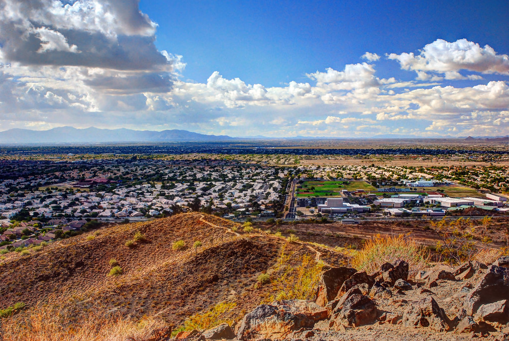
Glendale is a city located in Maricopa County, Arizona, situated about nine miles northwest of the state capital Phoenix. The city is known for State Farm Stadium, which is the home of the Arizona Cardinals football team, and also contains the Arrowhead Towne Center shopping mall. As of the 2020 census, the population of Glendale was 248,325.
Glendale offers a unique blend of history and modernity, with several museums and cultural sites showcasing the area’s past, as well as a thriving business community and modern amenities. The city is a popular destination for sports fans, with several major sporting events held at State Farm Stadium throughout the year. Glendale is also known for its vibrant arts scene, with several galleries and art shows held throughout the year.
The city hosts several annual events, such as the Glendale Chocolate Affaire and the Glendale Glitters Holiday Light Display, which draw visitors from all over the state. Glendale is a friendly and welcoming community that celebrates its diversity, making it a great place to visit or call home.
Goodyear

Goodyear is a city located in Maricopa County, Arizona, and is a suburb of Phoenix. As of the 2020 census, the population of Goodyear was 95,294, up from 65,275 in 2010 and 18,911 in 2000. The city was the third-fastest-growing city in Arizona between 1990 and 2000.
Goodyear is home to the Goodyear Ballpark, where the Cleveland Guardians and Cincinnati Reds of Major League Baseball hold spring training. The city is named after the Goodyear Tire and Rubber Company, which cultivated extensive farmland in the area to grow cotton for use in its tires. In 2008, Goodyear won the All-America City Award, sponsored by the National Civic League, showcasing the city’s commitment to community involvement and civic pride.
Goodyear offers a unique blend of history and modernity, with several museums and cultural sites showcasing the area’s past, as well as a thriving business community and modern amenities. The city is a popular destination for outdoor enthusiasts, offering a variety of recreational activities such as hiking, biking, and golfing. Goodyear is a friendly and welcoming community that celebrates its diversity, making it a special location to visit or live in.
Green Valley

Green Valley is an unincorporated community and census-designated place (CDP) located in Pima County, Arizona. As of the 2020 census, the population of Green Valley was 22,616. The community offers a unique blend of natural beauty and modern amenities, with several parks and outdoor recreational areas showcasing the area’s stunning views. The community is known for its vibrant arts scene, with several galleries and art shows held throughout the year.
Green Valley also hosts several annual events, such as the Green Valley Farmers & Artisans Market and the Green Valley/Sahuarita Chamber of Commerce Business Expo, which draw visitors from all over the state. The community is a popular destination for outdoor enthusiasts, offering a variety of recreational activities such as hiking, biking, and golfing. Green Valley is a friendly and welcoming community that celebrates its richness, making it a great place to visit or reside.
Kingman

Kingman is a city located in Mohave County, Arizona, and is the county seat. The city is named after Lewis Kingman, an engineer for the Atlantic and Pacific Railroad. Kingman is located 105 miles southeast of Las Vegas, Nevada, and 180 miles northwest of Arizona’s state capital, Phoenix. As of the 2020 census, the population of Kingman was 32,689.
The city offers a unique blend of history and modernity, with several museums and cultural sites showcasing the area’s past, as well as a thriving business community and modern amenities. Kingman is a popular destination for outdoor enthusiasts, offering a variety of recreational activities such as hiking, camping, and fishing.
The city is also known for its vibrant arts scene, with several galleries and art shows held throughout the year. Kingman hosts several annual events, such as the Andy Devine Days Rodeo and Parade and the Kingman Air and Auto Show, which draw visitors from all over the state. Kingman is a friendly and welcoming community that celebrates its diversity, making it a great place to visit or call home.
Lake Havasu City
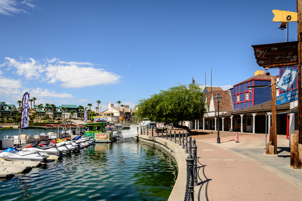
Lake Havasu City is a city located in Mohave County, Arizona. As of the 2020 census, the population of the city was 57,144, up from 52,527 in 2010. The city is known for its stunning lake views and outdoor recreational activities, with Lake Havasu being a popular destination for boating, fishing, and swimming. The city is also home to several parks and outdoor recreational areas, showcasing the area’s natural beauty.
Lake Havasu City is served by Lake Havasu City Airport, providing convenient access for visitors and residents alike. The city is a popular destination for tourists, offering a variety of attractions such as the London Bridge, which was brought over from England in the 1960s, and the annual Lake Havasu Balloon Festival, which draws visitors from all over the state. Lake Havasu City is a friendly and welcoming community that celebrates its richness, making it a wonderful place to visit or live.
Mesa

Mesa is a city located in Maricopa County, Arizona. It is the most populous city in the East Valley section of the Phoenix metropolitan area, bordered by Tempe on the west, the Salt River Pima–Maricopa Indian Community on the north, Chandler and Gilbert on the south along with Queen Creek, and Apache Junction on the east.
As of 2020, the city is home to 504,258 people, making it the third-largest city in Arizona after Phoenix and Tucson, the 36th-largest city in the US, and the largest city that is not a county seat. Mesa is a hub for education, with more than 40,000 students enrolled in more than 10 colleges and universities located in the city. The city is also home to the largest relief airport in the Phoenix area, Phoenix–Mesa Gateway Airport, located in the southeastern corner of the city.
Nogales

Nogales is a city located in Santa Cruz County, Arizona. The city’s name means ‘walnut trees’ in Spanish, and it forms part of the larger Tucson–Nogales combined statistical area, with a total population of 1,027,683 as of the 2010 Census. As of 2019, the estimated population of Nogales was 20,103.
The city is the county seat of Santa Cruz County and is known for being Arizona’s largest transborder agglomeration with its adjacent, much larger twin Nogales, Sonora, across the Mexican border. The southern terminus of Interstate 19 is located in Nogales at the U.S.–Mexico border, and the highways meeting in Nogales are a major road intersection in the CANAMEX Corridor, connecting Canada, the United States, and Mexico.
Nogales is also the beginning of the Arizona Sun Corridor, an economically important trade region stretching from Nogales to Prescott, including the Tucson and Phoenix metropolitan areas.
Oro Valley

Oro Valley is a suburban town located 6 miles north of Tucson, Arizona, in Pima County. The town was incorporated in 1974 and has experienced significant growth since then. According to the 2020 census, the population of the town is 47,070, an increase from 29,700 in 2000. Oro Valley is known as the “Upscale Tech Mecca” of Southern Arizona, with over 10 high-tech firms located in the area.
The town’s median household income is nearly 50% higher than the U.S. median, making it an attractive location for businesses and residents alike. Oro Valley is situated in the western foothills of the Santa Catalina Mountains at the base of Pusch Ridge, with the Tortolita Mountains located north of the town and vistas of the Tucson Valley to the south.
The town occupies the middle of Cañada del Oro Valley and is a popular destination for outdoor enthusiasts, offering a variety of recreational activities such as hiking, biking, and golfing.
Payson

Payson is a town located in northern Gila County, Arizona. Due to its location being very near to the geographic center of Arizona, Payson has been called “The Heart of Arizona”. The town is surrounded by the Tonto National Forest, the largest of the six national forests in Arizona and the ninth-largest national forest in the United States.
Payson offers a unique blend of natural beauty and cultural heritage, with several museums and historical sites showcasing the area’s past, as well as a lively festival calendar, including the World’s Oldest Continuous Rodeo, established in 1884, and the Old Time Fiddlers Contest which celebrates the area’s musical heritage.
As of the 2020 census, the population of Payson was 16,361, and the town is a popular destination for outdoor enthusiasts, offering a variety of recreational activities such as hiking, camping, and fishing. Payson is a friendly and welcoming community that celebrates its diversity, making it a great place to visit or call home.
Peoria
Peoria is a city located in Maricopa and Yavapai counties in the U.S. state of Arizona. Most of the city is located in Maricopa County, while a portion of it in the north is in Yavapai County. It is a major suburb of Phoenix and is known for its thriving business community and modern amenities. As of the 2020 census, the population of Peoria was 190,985, making it the sixth-largest city in Arizona in land area and the ninth-largest in population.
The city was named after Peoria, Illinois, and the word “peoria” is a corruption of the Miami-Illinois word for “prairie fire”. Peoria is a popular destination for sports enthusiasts, serving as the spring training home of the San Diego Padres and Seattle Mariners, who share the Peoria Sports Complex.
The city also offers a variety of recreational activities such as hiking, biking, and golfing, with several parks and outdoor recreational areas showcasing the area’s natural beauty. Peoria is a friendly and welcoming community that celebrates its charming character, making it a great place to visit or call home.
Phoenix

Phoenix is the state capital and the most populous city of the U.S. state of Arizona, with a population of 1,608,139 residents as of 2020. It is the fifth-most populous city in the United States and the most populous state capital in the country. Phoenix is the largest city in the Phoenix metropolitan area, also known as the Valley of the Sun, which in turn is part of the Salt River Valley.
The metropolitan area is the 10th-largest by population in the United States, with approximately 4.85 million people as of 2020, making it the largest in the Southwestern United States. Phoenix is the seat of Maricopa County and is the largest city by area in Arizona, covering an area of 517.9 square miles (1,341 km2). It is also the 11th largest city by area in the United States.
Phoenix is the largest metropolitan area of the Arizona Sun Corridor megaregion and offers a unique blend of history and modernity, with several museums and cultural sites showcasing the area’s past, as well as a thriving business community and modern amenities.
The city is a popular destination for sports enthusiasts, with several major league sports teams calling Phoenix home, and offers a variety of recreational activities such as hiking, biking, and golfing. Phoenix is a friendly and welcoming community that celebrates its diversity, making it a great place to visit or call home.
Prescott

Prescott is a city and county seat of Yavapai County, Arizona. As of the 2020 Census, the city’s population was 45,827. Prescott has a rich history as a frontier gold and silver mining town. In 1864, Prescott was designated as the capital of the Arizona Territory, replacing the temporary capital of Fort Whipple. The Territorial Capital was moved to Tucson in 1867, but Prescott again became the Territorial Capital in 1877, until Phoenix became the capital in 1889.
Prescott was a stereotypical “wild west” town during the latter half of the 19th century, with famous residents including Doc Holliday and Virgil Earp of the gunfight at the O.K. Corral. The city’s makeshift wooden town burned to the ground several times in the first decade of the 20th century, which finally resulted in the town being rebuilt in brick. The modern city subsists off of tourism, especially around its storied past.
Prescott is host to the self-proclaimed “World’s Oldest Rodeo”, running continuously since 1888. The rodeo, one of the most famous in the United States, draws some 35,000 tourists a year. Prescott offers a unique blend of history and modernity, with several museums and cultural sites showcasing the area’s past, as well as a thriving business community and modern amenities.
Prescott Valley

Prescott Valley is a town located in Yavapai County, Arizona, approximately 8 miles east of Prescott. The town is known for its stunning natural beauty, with several parks and outdoor recreational areas showcasing the area’s rugged terrain and scenic vistas. As of the 2020 United States Census, Prescott Valley has a population of 46,785 residents, making it one of the fastest-growing towns in Arizona.
The town offers a unique blend of history and modernity, with several museums and cultural sites showcasing the area’s past, as well as a thriving business community and modern amenities. Prescott Valley is a friendly and welcoming community that celebrates its character, making it a great place to live or visit.
San Luis
San Luis is a city located in Yuma County, Arizona. The population of the city was 25,505 at the 2010 census, and it is part of the Yuma Metropolitan Statistical Area. San Luis is situated in the southwest corner of the state, directly adjacent to Mexico’s Federal Highway 2 at San Luis Rio Colorado.
The city was the second fastest-growing city or town in Arizona from 1990 to 2000, and according to 2019 Census Bureau estimates, the population of the city is 34,778. San Luis offers a unique blend of cultures, with a large Hispanic population and a strong connection to its Mexican neighbor. The city is a popular destination for tourists, offering a variety of recreational activities such as hiking, biking, and fishing. San Luis is a friendly and welcoming community that celebrates its richness, making it a great place to holiday or reside.
Scottsdale
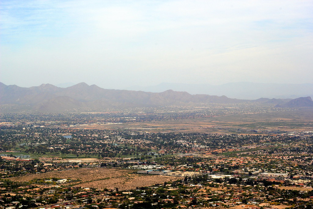
Scottsdale is a city located in the eastern part of Maricopa County, Arizona, and is part of the Phoenix metropolitan area. Named after its founder Winfield Scott, a retired U.S. Army chaplain, the city was incorporated in 1951 with a population of 2,000. At the 2020 census, the population of Scottsdale was 241,361, which had grown from 217,385 in 2010.
The city is known for its luxurious resorts, world-class golf courses, and vibrant nightlife. Its slogan is “The West’s Most Western Town”, reflecting its cowboy culture and Old West heritage. Over the past two decades, Scottsdale has been one of the fastest-growing cities in the United States, attracting residents and visitors from all over the world. Scottsdale covers 184.5 square miles and is bordered by the city of Phoenix to the west, Tonto National Forest to the north, the McDowell Mountains to the east, and the Salt River to the south.
The city offers a unique blend of natural beauty and modern amenities, with several parks and outdoor recreational areas showcasing the area’s rugged terrain and scenic vistas. Scottsdale is a friendly and welcoming community that celebrates its diversity, making it a great place to visit or call home.
Sierra Vista

Sierra Vista is a city located in Cochise County, Arizona. According to the 2020 Census, the population of the city is 45,308, making it the 27th most populous city in Arizona. The city is part of the Sierra Vista-Douglas Metropolitan Area, with a 2010 population of 131,346. Sierra Vista is known for its stunning natural beauty, with several parks and outdoor recreational areas showcasing the area’s rugged terrain and scenic vistas.
Fort Huachuca, a U.S. Army post, has been incorporated and is located in the northwest part of the city, adding to the city’s rich history and strong military presence. Sierra Vista is bordered by the cities of Huachuca City and Whetstone to the north and Sierra Vista Southeast to the south.
The city offers a unique blend of history and modernity, with several museums and cultural sites showcasing the area’s past, as well as a thriving business community and modern amenities. Sierra Vista is a friendly and welcoming community that celebrates its diversity, making it a great place to visit or call home.
Sun City
Sun City is an unincorporated community and census-designated place located in Maricopa County, Arizona, within the Phoenix metropolitan area. As of the 2020 census, the population of Sun City was 39,931. The community is known for its retirement lifestyle, attracting many snowbirds who come to enjoy the warm Arizona weather during the winter months.
Sun City is an active adult community that offers a variety of recreational activities, including golfing, swimming, and tennis. Its adjoining sister city is Sun City West, which is also a popular retirement community. Both Sun Cities offer a unique blend of history and modernity, with several museums and cultural sites showcasing the area’s past, as well as a thriving business community and modern amenities. Sun City is a friendly and welcoming community that celebrates its diversity, making it a great place to visit or call home for retirees.
Sun City West
Sun City West is an unincorporated community and census-designated place located in Maricopa County, Arizona. As of the 2020 census, the population of Sun City West was 25,806. The community is known for its active adult lifestyle, attracting many retirees who come to enjoy the warm Arizona weather and the numerous recreational activities available.
Sun City West offers a variety of amenities, including several golf courses, swimming pools, and tennis courts. The community is also home to several cultural and recreational facilities, including the Del E. Webb Center for the Performing Arts and the R.H. Johnson Recreation Center. Sun City West is a friendly and welcoming community that celebrates its character, making it a marvelous area to visit or call home for retirees.
Surprise

Surprise is a city located in Maricopa County, Arizona. The population of the city was 143,148 at the 2020 census, up from 117,517 in 2010 and just 30,848 in 2000. The city is known for its rapid growth and development, attracting residents and visitors from all over the world. Surprise offers a variety of amenities, including a 10,562-square-foot Aquatics Center and Maricopa County’s northwest regional library, a $5.5 million, 20,000-square-foot library.
The city also has a 100.3 cost of living index, making it an affordable place to live. Surprise offers a unique blend of natural beauty and modern amenities, with several parks and outdoor recreational areas showcasing the area’s rugged terrain and scenic vistas. The city is a friendly and welcoming community that celebrates its delightful character, making it a fulfilling location to live or visit.
Tempe
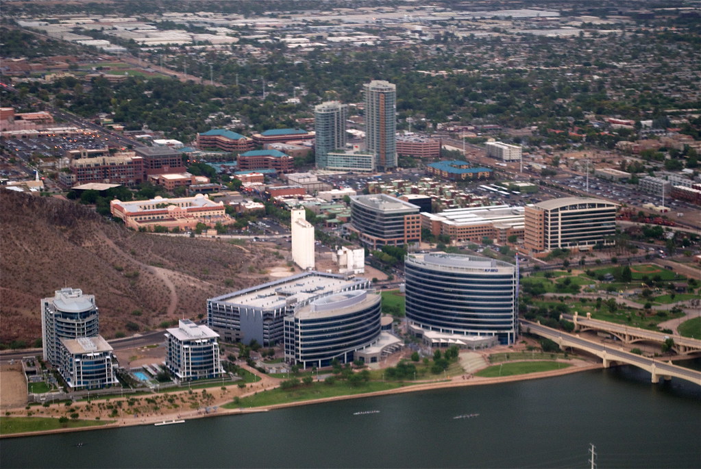
Tempe is a city located in Maricopa County, Arizona, with a population of 180,587 as reported by the Census Bureau in 2020. The city is named after the Vale of Tempe in Greece and is located in the East Valley section of metropolitan Phoenix. Tempe is bordered by Phoenix and Guadalupe on the west, Scottsdale and the Salt River Pima–Maricopa Indian Community on the north, Chandler on the south, and Mesa on the east.
Tempe is known for its vibrant and dynamic culture, with a thriving arts and music scene, a variety of restaurants and cafes, and a bustling downtown area. The city is also home to the main campus of Arizona State University, which is one of the largest public universities in the United States.
Tempe offers a unique blend of history and modernity, with several museums and cultural sites showcasing the area’s past, as well as a thriving business community and modern amenities. Tempe is a friendly and welcoming community that celebrates its diversity, making it a great place to visit or call home.
Tucson

Tucson is a city located in and the county seat of Pima County, Arizona. The city is home to the University of Arizona and is the second-largest city in Arizona behind Phoenix, with a population of 542,629 in the 2020 United States census. The entire Tucson metropolitan statistical area (MSA) has a population of 1,043,433, forming part of the larger Tucson-Nogales combined statistical area.
Both Tucson and Phoenix anchor the Arizona Sun Corridor. The city is located 108 miles southeast of Phoenix and 60 miles north of the United States–Mexico border. Tucson is known for its rich history and cultural diversity, with several museums and cultural sites showcasing the area’s past.
Major incorporated suburbs of Tucson include Oro Valley and Marana northwest of the city, Sahuarita south of the city, and South Tucson in an enclave south of downtown. Communities in the vicinity of Tucson include Casas Adobes, Catalina Foothills, Flowing Wells, Midvale Park, Tanque Verde, Tortolita, and Vail. The city is a friendly and welcoming community that celebrates its rich character, making it a wonderful place to visit or reside.
Winslow
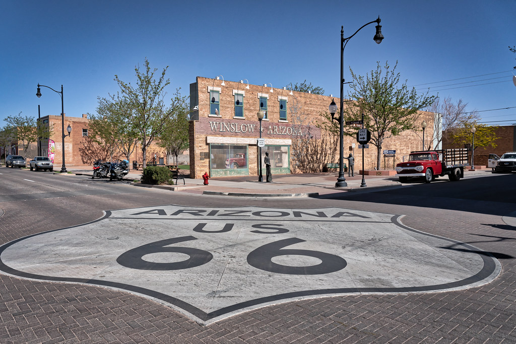
Winslow is a city located in Navajo County, Arizona. The city has a population of 9,655, according to the 2010 census. Winslow is known for its rich history and cultural heritage, with several museums and cultural sites showcasing the area’s past. The city is approximately 57 miles southeast of Flagstaff, 240 miles west of Albuquerque, New Mexico, and 329 miles southeast of Las Vegas.
Winslow offers a unique blend of natural beauty and modern amenities, with several parks and outdoor recreational areas showcasing the area’s rugged terrain and scenic vistas. The city is a friendly and welcoming community that celebrates its differences, making it a charming place to visit or call home.
Yuma
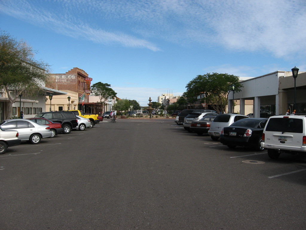
Yuma is a city located in and the county seat of Yuma County, Arizona. The city has a population of 93,064, according to the 2010 census, up from the 2000 census population of 77,515. Yuma is the principal city of the Yuma, Arizona, Metropolitan Statistical Area, which consists of Yuma County. The estimated population of the Yuma MSA is 203,247, according to the United States Census Bureau in 2020.
Yuma is known for being the “Sunniest City on Earth,” with sunshine and warm weather at least 91% of the year, according to Guinness World Records. The city is a popular winter residence for out-of-state visitors, with anywhere from 70,000 to over 85,000 people making Yuma their winter home.
Yuma’s weather also makes it an agricultural powerhouse, growing over 175 types of crops, with lettuce being the largest crop. Yuma County provides 90% of all leafy vegetables grown from November to March in the United States. The city is also home to several military bases, including the Marine Corps Air Station, which adds to the city’s strong military presence. Yuma is located in the state’s southwest corner, in the Sonoran Desert, Yuma Desert sub-region.
Interstates
Interstate 15

Interstate 15 (I-15) is a notable Interstate Highway that runs from San Diego, California, United States, to the Canada-US border, passing through Mohave County in northwest Arizona. Despite being isolated from the rest of Arizona in the remote Arizona Strip and being relatively short at 29.43 miles (47.36 km), it is known for its scenic passage through the Virgin River Gorge.
The highway runs in a northeasterly direction from the Nevada border northeast of Mesquite, Nevada, to the Utah border southwest of St. George, Utah. The southern portion of I-15 follows the old U.S. Route 91 (US 91) alignment, while the northern section, through the Virgin River Gorge, was built along roadless terrain. The Virgin River Gorge passage was the most expensive section of rural interstate per mile when it opened in 1973, despite the southern section being complete and open in the early 1960s.
Interstate 17

Interstate 17 (I-17) is a north-south Interstate Highway that runs entirely within the state of Arizona. The highway’s southern terminus is in Phoenix, at I-10/US 60, and its northern terminus is in Flagstaff, at Milton Road north of I-40. Most of I-17 is known as the Arizona Veterans Highway, while in the Phoenix metropolitan area, it is mostly referred to as the Black Canyon Freeway, with the southern 4.16 miles (6.69 km) being part of the Maricopa Freeway.
The southern portion of the highway was built along the alignment of State Route 69 (SR 69), while the northern part was built along the alignment of old SR 79. The final section of I-17 was completed in 1978, making it a relatively new highway in the state.
Interstate 10

Interstate 10 (I-10) is a major east-west Interstate Highway that runs through the state of Arizona, as well as the United States Sun Belt. The highway enters Arizona near the town of Ehrenberg, runs through Phoenix and Tucson, and exits at the border with New Mexico near San Simon. Along the way, I-10 passes through several cities, including Casa Grande, Eloy, and Marana.
The highway is known by different names in different areas, such as the Papago Freeway, Inner Loop, or Maricopa Freeway within the Phoenix metropolitan area, and the Pearl Harbor Memorial Highway outside of metro Phoenix. As one of the busiest highways in Arizona, I-10 is a vital transportation route for both commercial and personal travel.
Interstate 19

Interstate 19 (I-19) is a north-south Interstate Highway located entirely within the state of Arizona. The highway travels from Nogales, which is located roughly 90 meters (300 ft) from the Mexican border, to Tucson, where it connects with I-10. Along the way, I-19 passes through several cities, including Rio Rico, Green Valley, and Sahuarita. With a total length of just over 102 kilometers (63 mi), I-19 is the seventh-shortest primary (two-digit) Interstate Highway in the contiguous 48 states.
However, despite its short length, the highway is a vital transportation corridor, serving as a fast route from Tucson and Phoenix (via I-10) to the Mexican border. I-19 is also a portion of the US section of the CANAMEX Corridor, a trade corridor that stretches north from Mexico across the US to the Canadian province of British Columbia.
Interstate 8
Interstate 8 (I-8) is a major Interstate Highway in the southwestern United States. The highway spans from the southern edge of Mission Bay at Sunset Cliffs Boulevard in San Diego, California, almost at the Pacific Ocean, to the junction with I-10, just southeast of Casa Grande, Arizona. In California, the freeway passes through the San Diego metropolitan area as the Ocean Beach Freeway and the Mission Valley Freeway before crossing over the Cuyamaca Mountains and providing access through the Imperial Valley, including the city of El Centro.
After crossing the Colorado River into Arizona, I-8 continues through the city of Yuma, crossing the Sonoran Desert before reaching Casa Grande, which is located between the cities of Phoenix and Tucson. I-8 is a vital transportation route for both commercial and personal travel, connecting major cities and providing access to popular tourist destinations.
Interstate 40
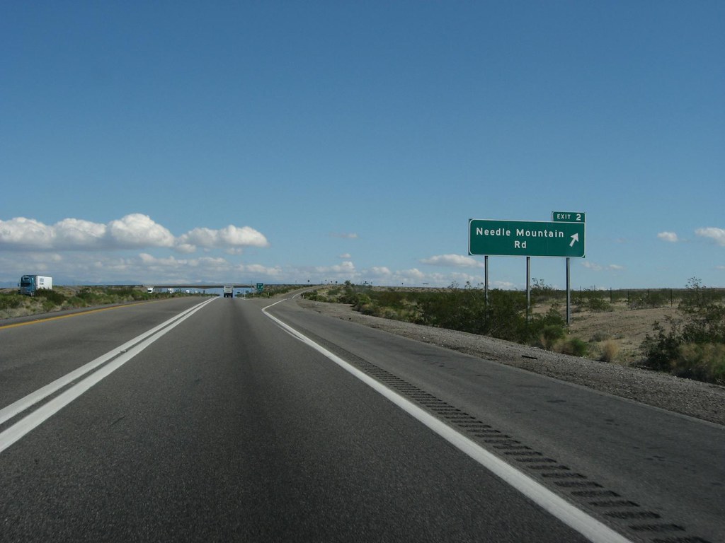
Interstate 40 (I-40) is an east-west Interstate Highway that spans 359.11 miles (577.93 km) in the state of Arizona, connecting sections in California and New Mexico. The highway is also known as the Purple Heart Trail, honoring those wounded in combat who have received the Purple Heart. I-40 enters Arizona from the west, crossing the Colorado River southwest of Kingman and traveling eastward across the northern portion of the state.
Along the way, the highway connects several cities, including Kingman, Ash Fork, Williams, Flagstaff, Winslow, and Holbrook. I-40 continues into New Mexico, heading to Albuquerque. The highway follows the historic alignment of US 66 for the majority of its routing through Arizona, with the exception of a stretch between Kingman and Ash Fork. Construction of I-40 began in the 1960s and 1970s, reaching completion in 1984. With the completion of I-40, the entire routing of US 66 was bypassed by Interstate Highways, leading to its decertification a year later in 1985.
Highways
Route 60
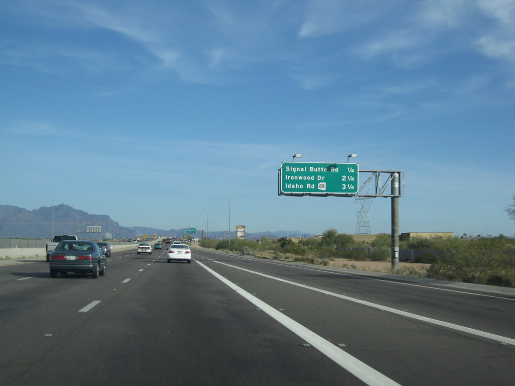
U.S. Route 60 (US 60) is an east-west United States Highway that spans 369 miles (594 km) within the state of Arizona. The highway runs from a junction with Interstate 10 near Quartzsite to the New Mexico State Line near Springerville. As it crosses the state, US 60 overlaps with several other routes, including I-17, I-10, SR 77, SR 260, US 191, and US 180.
The route is known by different names in different areas, such as Grand Avenue (or the Phoenix-Wickenburg Highway) between Wickenburg and Phoenix, and the Superstition Freeway from Tempe to Apache Junction. US 60 is a vital transportation route for both commercial and personal travel, connecting several cities and providing access to popular tourist destinations.
Route 70
U.S. Route 70 (US 70), also known as the Old West Highway, is an east-west U.S. Highway in the state of Arizona. The current route starts at US 60 in Globe and runs through the San Carlos Indian Reservation, Safford, and Duncan, before crossing into New Mexico near Virden. As it passes through Arizona, US 70 travels through mostly isolated hilly and mountainous terrain, paralleling the course of the Gila River and the Arizona Eastern Railway.
From 1926 to 1932, US 70 was designated further north than its current route. It originally ran from US 66 in Holbrook through St. Johns to the New Mexico state line east of Springerville. Today, US 180 and US 60 serve this route. The highway between Globe and New Mexico was previously designated as part of the original US 180 from 1926 to 1935. Starting in 1935, US 70 ran entirely concurrent with US 60 from Globe to Los Angeles, California. US 70 was gradually truncated to its current terminus in Globe between 1964 and 1969.
Route 89
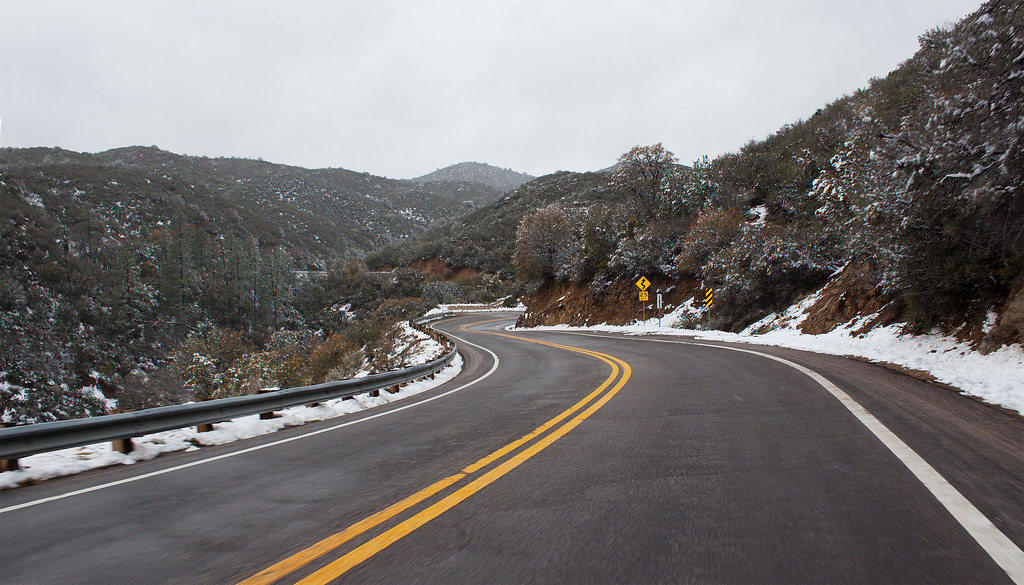
U.S. Route 89 (US 89) is a U.S. Highway that begins in Flagstaff and heads north to the Utah border northwest of Page in the state of Arizona. US 89 is one of the first U.S. Highways established in Arizona, having been established between November 11, 1926, and September 9, 1927. Prior to 1992, US 89 started at the international border in Nogales and was routed through Tucson, Phoenix, and Prescott between Nogales and Flagstaff.
Today, State Route 79 and State Route 89 are both former sections of US 89. US 89 is a vital transportation route for both commercial and personal travel, connecting several cities and providing access to popular tourist destinations. The highway passes through diverse terrain, including forests, canyons, and desert landscapes, offering travelers stunning views of Arizona’s natural beauty.
Route 89A

U.S. Route 89A is a 91.74-mile (147.64 km) north-south auxiliary U.S. highway that runs in a more east-west direction in southwestern Kane County, Utah, and northeastern Coconino County, Arizona. The highway is an old routing of U.S. Route 89 from Bitter Springs, Arizona, to Kanab, Utah. The state of Arizona has designated this highway the Fredonia-Vermilion Cliffs Scenic Road, and it is used to access the North Rim of Grand Canyon National Park.
One of the highlights of the route is the Navajo Bridge. Until 2008, the Utah portion was signed State Route 11. The route provides the only direct road connection between the Arizona Strip and the rest of Arizona, making it an essential transportation route for both commercial and personal travel. US 89A is known for its scenic beauty, offering travelers stunning views of the surrounding landscapes, including the Vermilion Cliffs and the Colorado River.
Route 93
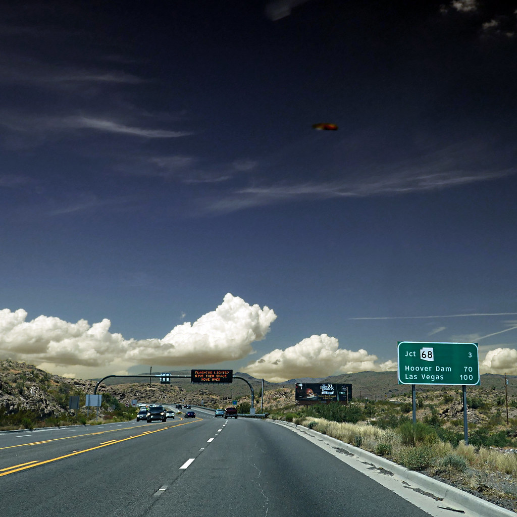
U.S. Route 93 (US 93) is a United States Numbered Highway that begins in Wickenburg and heads north to the Nevada state line at the Mike O’Callaghan–Pat Tillman Memorial Bridge in the state of Arizona. The total length of US 93 in Arizona is 199.38 miles (320.87 kilometers). While most of US 93 is a four-lane divided highway, sections of the highway between Wickenburg and Interstate 40 (I-40) are still a narrow two-lane road that is gradually being upgraded to match the rest of the route.
Between Wickenburg and I-40, part of US 93 is designated as the Joshua Forest Scenic Byway, offering travelers scenic views of the surrounding landscapes. As part of a proposal by municipal leaders in Nevada and Arizona, the highway could be replaced by Interstate 11 (I-11). US 93 has a rich history, with most of the route from Hoover Dam to Kingman having originally been designated as State Route 69 (SR 69) and later re-designated as the easternmost part of US 466 in 1935. US 93 was extended into Arizona along US 466 to Kingman the same year.
Route 95

U.S. Route 95 (US 95) is a major U.S. Highway in the state of Arizona, starting at the Mexican border in San Luis and acting as the main highway north through Gadsden, Somerton, and Yuma before arriving in Quartzsite. Between Quartzsite and the California border on the Colorado River in Ehrenberg, US 95 runs entirely concurrent with I-10.
Part of US 95 between San Luis and Yuma is maintained by local governments instead of the Arizona Department of Transportation, which maintains the remainder of the route. US 95 is one of Arizona’s younger U.S. Highways, having been established in the state on June 27, 1960. In earlier years, the Arizona section of US 95 was a southern extension of Arizona State Route 95.
The route used to have major junctions with US 80 in Yuma and US 60/US 70 in Quartzsite until all three routes were removed from southwestern Arizona between 1969 and 1982. US 95 is a vital transportation route for both commercial and personal travel, connecting several cities and providing access to popular tourist destinations.
Route 160
U.S. Route 160 (US 160), also known as the Navajo Trail, is a U.S. Highway that travels west to east across the Navajo Nation and Northeast Arizona for 159.35 miles (256.45 km). US 160 begins at a junction with US 89 north of Cameron and exits the state into New Mexico south of the Four Corners Monument.
Along its journey, the route connects several communities, including Tuba City, Moenkopi, Rare Metals, Tonalea, Tsegi, Kayenta, Dennehotso, Mexican Water, Red Mesa, and Teec Nos Pos. Most of what is now US 160 was constructed as Navajo Route 1 between 1959 and 1962 and carried part of State Route 64 (SR 64) and the entirety of SR 364 between 1961 and 1965.
From 1965 to 1970, the entire route of present-day US 160 was designated as US 164 until US 160 was moved from its original alignment between Utah and Colorado onto the entirety of US 164 between Arizona and Colorado. US 160 is a vital transportation route for both commercial and personal travel, providing access to several Navajo Nation communities and popular tourist destinations.
Route 180
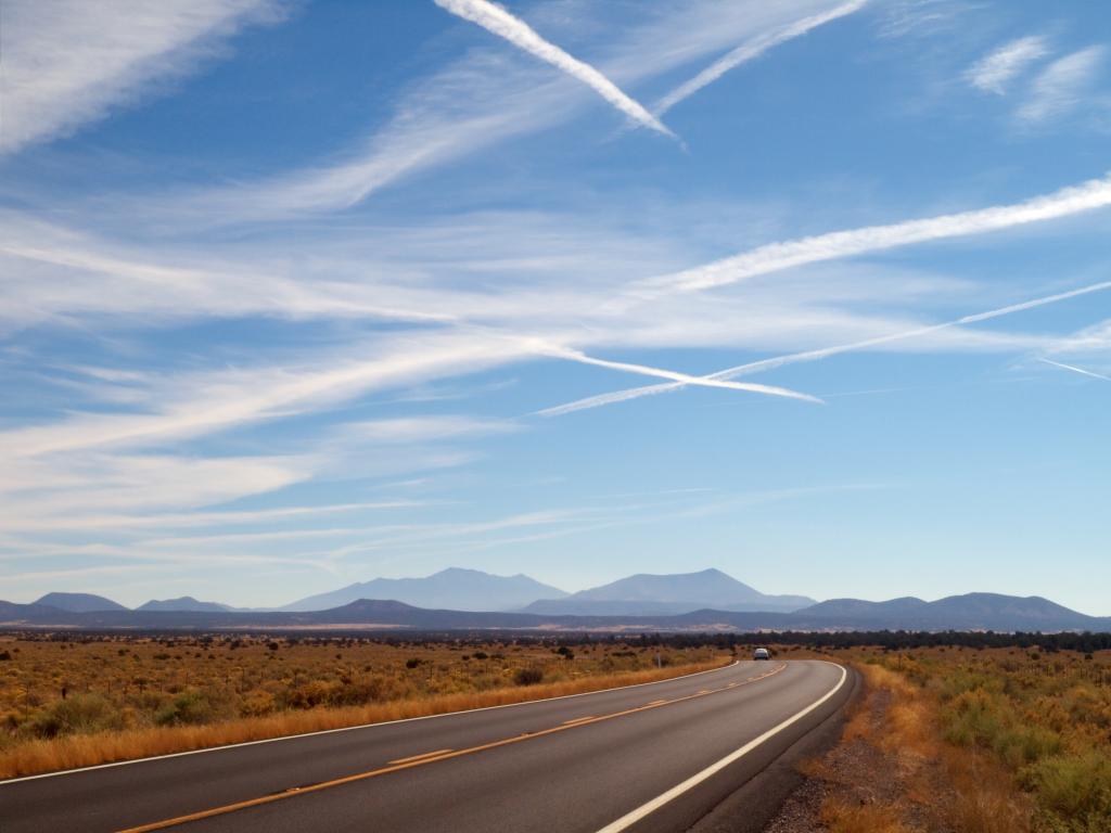
U.S. Route 180 (US 180) is a major U.S. Highway in the state of Arizona. In Flagstaff, US 180 is concurrent with Interstate 40 Business and historic U.S. Route 66 for a short distance through the city. US 180 joins the former routing of Route 66 in the center of Flagstaff and follows the roadway to where it merges with Interstate 40 east of the city.
From the western terminus of the overlap, the intersection with eastbound Interstate 40 is two miles (3 km) to the east, and the intersection with westbound Interstate 40 and Interstate 17 is three miles (5 km) to the southwest. US 180 shares numbering with Interstate 40 from Flagstaff to Holbrook, where it follows Interstate 40 Business along South Navajo Boulevard. After following South Navajo Boulevard, US 180 follows a south-southeast route, running by the Petrified Forest National Park and continuing south-southeast to and through a small branch of the Zuni Indian Reservation, to St. Johns, Apache County, Arizona, where it meets U.S. Route 191.
After meeting up with US 191, US 180 continues south to the town of Eagar, Arizona, where the two routes enter the Apache National Forest and finally split at the town of Alpine, Arizona, roughly 4-6 miles from the Arizona-New Mexico border. US 180 is a vital transportation route for both commercial and personal travel, connecting several cities and providing access to popular tourist destinations, including Petrified Forest National Park.
Route 191

U.S. Route 191 (US 191) is a north-south U.S. Highway in eastern Arizona, running for 516.50 miles (831.23 km), which makes it Arizona’s longest-numbered highway. The highway begins at State Route 80 near Douglas and crosses over the Utah state line near Mexican Water in the Navajo Nation. Between Douglas and Utah, US 191 shares multiple concurrencies with I-10, US 70, US 180, US 60, SR 61, I-40, SR 264, and US 160.
Until 1981, the route taken by US 191 between I-40 in Chambers and the Utah state line was designated as SR 63. The route from SR 80 in Douglas to I-40 in Sanders was originally part of US 666, which was often associated with the biblical devil due to the number 666 occasionally being considered the “number of the beast.”
The highway number caused discomfort with the general public and led to the constant sign theft of US 666 markers along the highway, prompting the redesignation of US 666 as a section of US 191 in 1992. US 191 is a vital transportation route for both commercial and personal travel, connecting several cities and providing access to popular tourist destinations, including the Petrified Forest National Park and the Navajo Nation.

