Alaska, the largest state in the United States, is a land of stunning natural beauty, rugged wilderness, and unique culture. Known for its vast glaciers, towering mountains, and abundant wildlife, Alaska is a popular destination for outdoor enthusiasts and nature lovers.
To help visitors and residents navigate this vast state, we have created a detailed map of Alaska with cities and highways. This map highlights the state’s major cities, including Anchorage, Fairbanks, Juneau, and Sitka, as well as its primary highways and roads.
With this map, you can explore Alaska’s diverse geography, from its coastal plains to its rugged interior, and discover all that this beautiful state has to offer. So, whether you’re planning a road trip or simply want to learn more about Alaska’s unique landscape and culture, this is an essential tool for any adventurer.
Printable Alaska Map With Cities and Highways

Cities
Anchorage
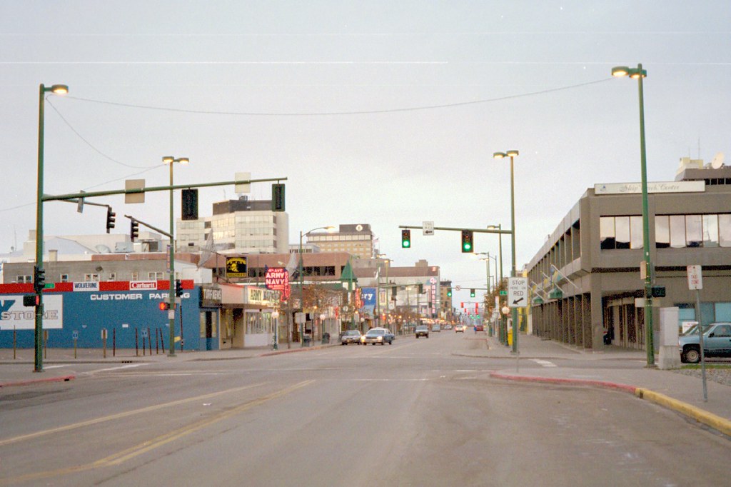
The Municipality of Anchorage, also known as Anchorage, is the largest city in the U.S. state of Alaska by population. With a population of 291,247 as of the 2020 census, it contains nearly 40 percent of the state’s population and has more people than all of Northern Canada and Greenland combined. The Anchorage metropolitan area, which includes Anchorage and the neighboring Matanuska-Susitna Borough, had a population of 398,328 in 2020, accounting for more than half the state’s population.
Anchorage is located in Southcentral Alaska, at the terminus of the Cook Inlet, on a peninsula formed by the Knik Arm to the north and the Turnagain Arm to the south. The city is the fourth-largest by area in the United States, with a land area of 1,706 sq mi (4,420 km2), larger than the smallest state, Rhode Island.
Anchorage was first settled as a tent city near the mouth of Ship Creek in 1915 when construction on the Alaska Railroad began and was incorporated as a city in November 1920. Anchorage has won the All-America City Award four times and has been named the United States’ most tax-friendly city by Kiplinger.
Fairbanks
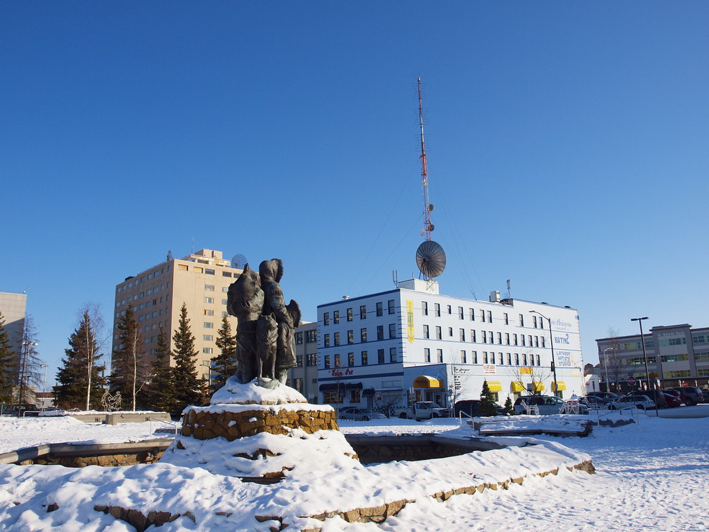
Fairbanks is the largest city in the Interior region of Alaska and the second largest in the state. It is a home rule city and the borough seat of the Fairbanks North Star Borough. The 2020 Census put the population of the city proper at 32,515 and the population of the Fairbanks North Star Borough at 95,655, making it the second most populous metropolitan area in Alaska after Anchorage.
Fairbanks is located in the Tanana Valley, straddling the Chena River near its confluence with the Tanana River. The city is the coldest large city in the United States, with monthly mean temperatures ranging from −8.3 °F (−22.4 °C) in January to 62.9 °F (17.2 °C) in July. Fairbanks experienced a gold rush in the early 1900s, and the city became a supply point for the Trans-Alaska Pipeline System after the discovery of the Prudhoe Bay Oil Field in 1968.
The city is home to the University of Alaska Fairbanks, the founding campus of the University of Alaska system, established in 1917. Fairbanks International Airport is the smallest city in the United States with regularly scheduled non-stop international flights.
Juneau
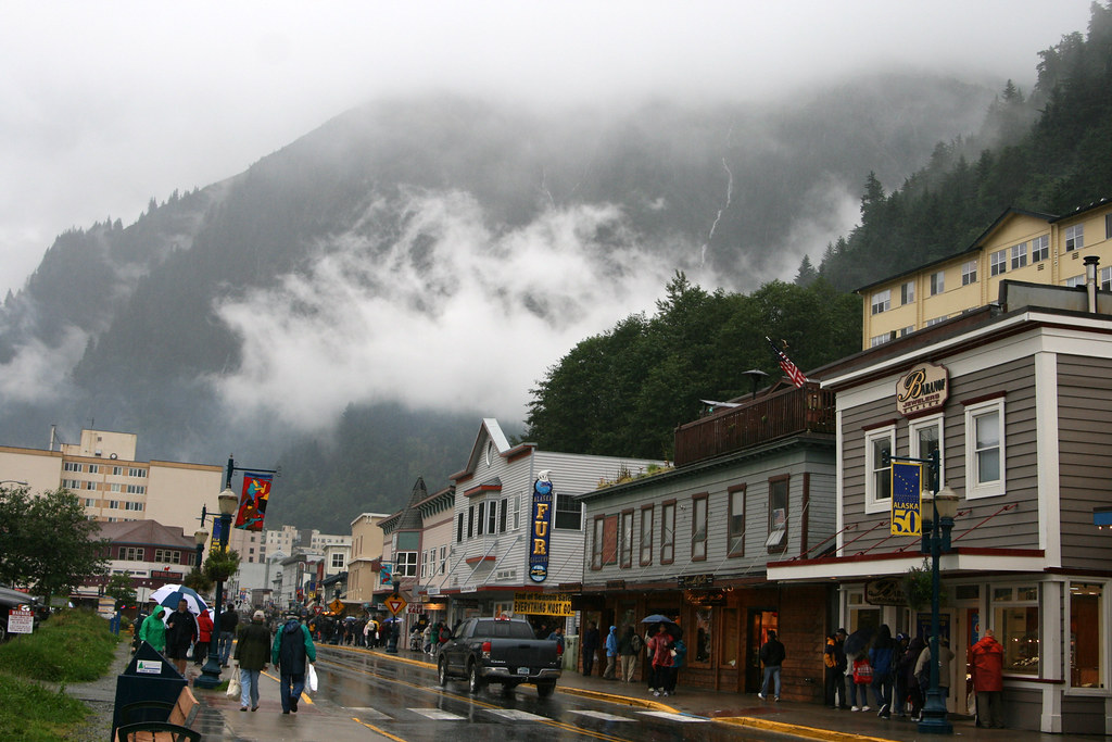
The City and Borough of Juneau, more commonly known simply as Juneau, is the capital city of the U.S. state of Alaska. It is a consolidated city-borough and the second-largest city in the United States by area, located in the Gastineau Channel and the Alaskan panhandle. Juneau was named the capital of Alaska in 1906 when the government of what was then the District of Alaska was moved from Sitka as dictated by the U.S. Congress in 1900.
The municipality unified on July 1, 1970, when the city of Juneau merged with the city of Douglas and the surrounding Greater Juneau Borough to form the current municipality, which is larger by area than both Rhode Island and Delaware. Downtown Juneau is nestled at the base of Mount Juneau and across the channel from Douglas Island.
As of the 2020 census, the City and Borough had a population of 32,255, making it the third-most populous city in Alaska after Anchorage and Fairbanks. Juneau is unique among the 49 U.S. capitals on mainland North America in that there are no roads connecting the city to the rest of the state or North America. The absence of a road network is due to the extremely rugged terrain surrounding the city.
Sitka
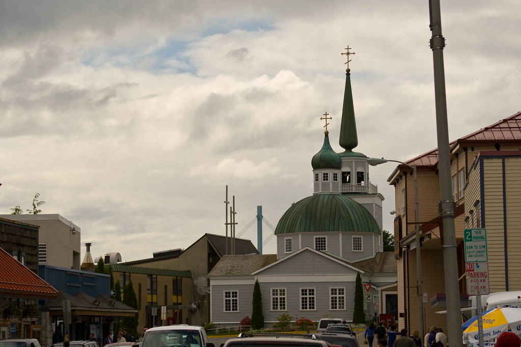
Sitka is a unified city-borough located in the southeast portion of the state, situated on the west side of Baranof Island and the south half of Chichagof Island in the Alexander Archipelago of the Pacific Ocean. The city was under Russian rule from 1799 to 1867, and today is the fifth-most populated city in Alaska with a population of 8,458 as of the 2020 census.
Sitka boasts a consolidated land area of 2,870.3 square miles (7,434 square kilometers) and a total area (including water) of 4,811.4 square miles (12,461 km2), making it the largest city by total area in the U.S. state of Alaska.
Ketchikan
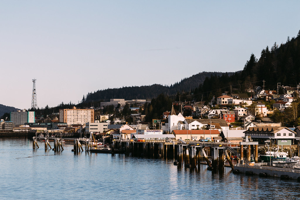
Ketchikan is a city in and the borough seat of the Ketchikan Gateway Borough of Alaska. It is the state’s southeasternmost major settlement and downtown Ketchikan is a National Historic District.
With a population of 8,192 as of the 2020 census, up from 8,050 in 2010, it is the sixth-most populous city in the state and the thirteenth-most populous community when census-designated places are included. The surrounding borough, encompassing suburbs both north and south of the city along the Tongass Highway, plus small rural settlements accessible mostly by water, registered a population of 13,948 in that same census.
Ketchikan is located on Revillagigedo Island, named in 1793 by Captain George Vancouver. The city is named after Ketchikan Creek, which flows through the town, emptying into the Tongass Narrows a short distance southeast of its downtown. “Ketchikan” comes from the Tlingit name for the creek, Kitschk-hin, the meaning of which is unclear.
Wasilla

The City of Wasilla, also known as Benteh in the Dena’ina language, is a city in Matanuska-Susitna Borough, United States, and the fourth-largest city in Alaska. It is located on the northern point of Cook Inlet in the Matanuska-Susitna Valley of the southcentral part of the state. The city’s population was 9,054 at the 2020 census, up from 7,831 in 2010. Wasilla is the largest city in the borough and a part of the Anchorage metropolitan area, which had an estimated population of 398,328 in 2020.
The city’s economy has shifted from small-scale agriculture and recreation to support for workers employed in Anchorage or on Alaska’s North Slope oilfields and related infrastructure. Wasilla is also home to the headquarters of the Iditarod Trail Sled Dog Race, a popular and significant sporting event in Alaska.
The city gained international attention when Sarah Palin, who served as Mayor of Wasilla before her election as Governor of Alaska, was chosen by John McCain as his running mate for Vice President of the United States in the 2008 United States presidential election. Wasilla is named after Chief Wasilla, a local Dena’ina chief, with “Wasilla” being the anglicized spelling of the chief’s Russian-given name, Васи́лий Vasilij, which corresponds to the English name Basil.
Kenai
Kenai is a city in the Kenai Peninsula Borough in the U.S. state of Alaska. The city is located one hundred and fifty-eight miles by road southwest of Anchorage. Kenai is known for its stunning natural beauty and is a popular destination for outdoor activities such as fishing, hiking, and wildlife viewing.
The city’s population was 7,424 as of the 2020 census, up from 7,100 in 2010, making it the fifteenth-most populated city in the state. The name Kenai comes from the Dena’ina name Shk’ituk’t, which means “where we slide down.” The city was originally settled in the early 1800s as a fur trading post and later became a hub for the fishing industry. Today, Kenai is a vibrant community with a thriving economy and a rich cultural heritage.
Kodiak
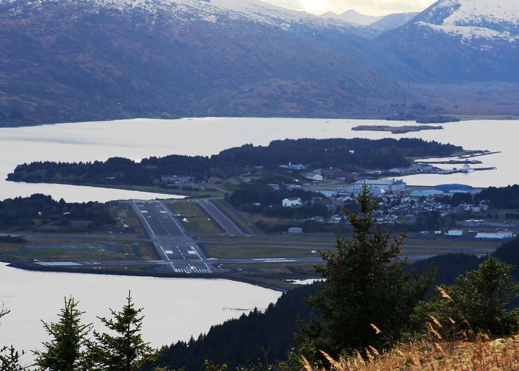
The City of Kodiak, also known as Sun’aq in the Alutiiq language, is the main city and one of seven communities on Kodiak Island in Kodiak Island Borough, Alaska. All commercial transportation between the island’s communities and the outside world goes through this city via ferryboat or airline. As of the 2020 census, the population of the city is 5,581, down from 6,130 in 2010, making it the tenth-largest city in Alaska.
Kodiak was settled in 1792 by subjects of the Russian crown and was originally named Paul’s Harbor. It became the capital of Russian Alaska and played a significant role in the harvesting of sea otter pelts, which led to the near extinction of the animal and wars with and enslavement of the natives for over 150 years. Today, Kodiak’s economy is centered around commercial fishing, which has been the mainstay of the city since the 1800s.
The city also attracts tourists seeking outdoor adventure trips and hunting opportunities, with salmon, halibut, Kodiak bears, elk, Sitka deer, and mountain goats being the main attractions. Kodiak has a strong education system with four public elementary schools, a middle and high school, and a branch of the University of Alaska. Transportation to and from the island is provided by ferry service on the Alaska Marine Highway as well as local commercial airlines.
Bethel

Bethel, also known as Mamterilleq in the Central Yupik language, is a city in the U.S. state of Alaska. The city is located on the Kuskokwim River approximately 50 miles (80 km) from where the river discharges into Kuskokwim Bay. Bethel is the largest community in western Alaska and in the Unorganized Borough and the eighth-largest in the state. The city has a population of 6,325 as of the 2020 census, up from 6,080 in 2010.
Bethel is known for its vibrant cultural scene, with annual events such as the Kuskokwim 300 dogsled race, Camai, a Yup’ik dance festival held each spring, and the Bethel Fair held in August. The city’s economy is centered around fishing and subsistence activities, with salmon, herring, and whitefish being the main catches. Bethel is also home to the Yukon-Kuskokwim Health Corporation, which provides healthcare services to the region.
Palmer

Palmer, also known as Nił’etse’it’aade or Nuutah in the Ahtna language and Denal’i Kena in the Dena’ina language, is a city in and the borough seat of the Matanuska-Susitna Borough, Alaska, United States. The city is located 42 miles (68 km) northeast of Anchorage on the Glenn Highway in the Matanuska Valley.
Palmer is the ninth-largest city in Alaska and forms part of the Anchorage Metropolitan Statistical Area. As of the 2020 census, the population of the city is 5,888, down from 5,937 in 2010. Palmer is known for hosting the annual Alaska State Fair, which attracts visitors from all over the state and beyond. The city is also home to the headquarters of the National Tsunami Warning Center, which provides early warning of tsunami events to coastal communities in Alaska and around the Pacific Ocean.
Palmer’s economy is centered around agriculture, with the Matanuska Valley being one of the most fertile agricultural regions in the state. The city is also home to a number of small businesses and serves as a hub for transportation and commerce in the region.
Homer

Homer, also known as Tuggeght in the Dena’ina language, is a city in Kenai Peninsula Borough in the U.S. state of Alaska. The city is located 218 mi (351 km) southwest of Anchorage. According to the 2020 Census, the population of Homer is 5,522, up from 5,003 in 2010. Homer is famous for being the “Halibut Fishing Capital of the World” and is also known as “the end of the road” due to its location at the end of the Sterling Highway. More recently, the city has been nicknamed “the cosmic hamlet by the sea”.
Homer is a popular tourist destination, with visitors coming to enjoy the city’s stunning natural beauty, including its picturesque harbor and the nearby Kachemak Bay State Park. The city is also home to a vibrant arts community, with numerous galleries, studios, and theaters showcasing the work of local artists. Homer’s economy is centered around tourism and fishing, with halibut, salmon, and other seafood being the main catches.
Unalaska
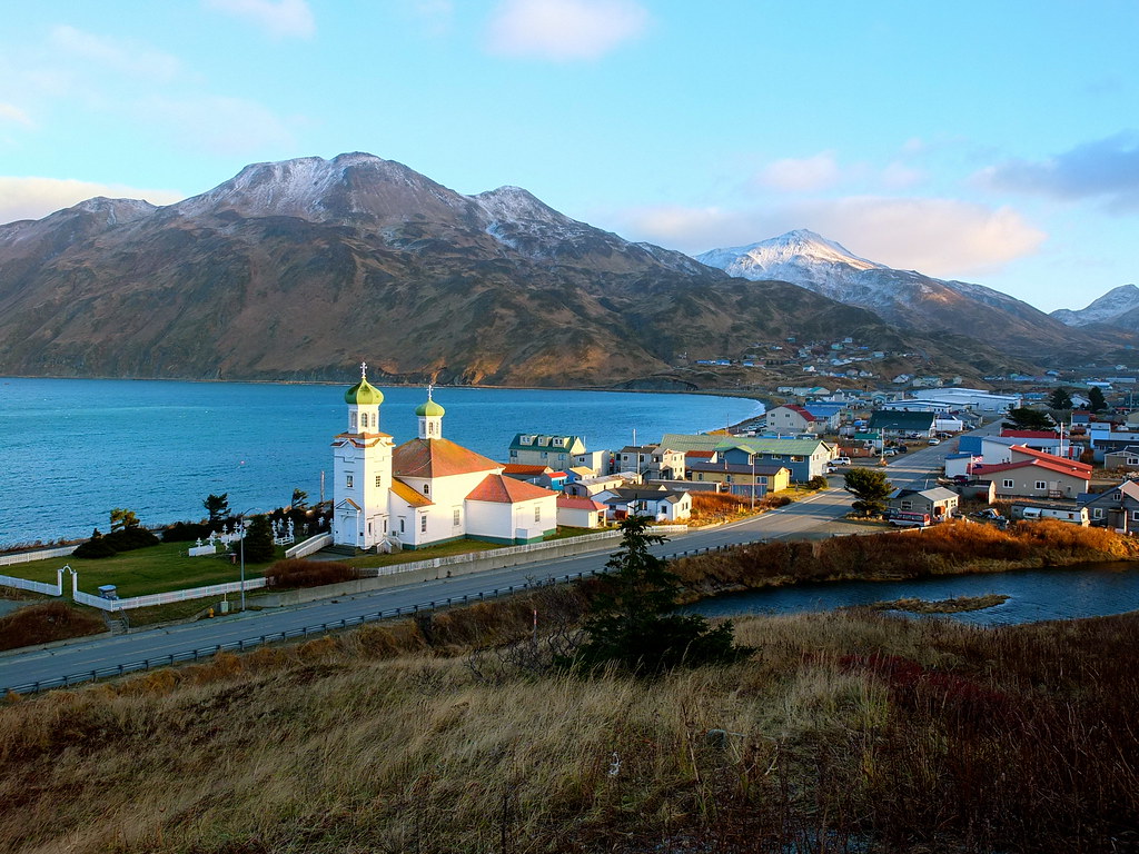
The City of Unalaska, also known as Iluulux̂ in the Aleut language and Уналашка in Russian, is the main population center in the Aleutian Islands. The city is located on Unalaska Island and neighboring Amaknak Island in the Aleutian Islands off mainland Alaska.
Unalaska is the second-largest city in the Unorganized Borough, behind Bethel, and had a population of 4,254 at the 2020 census, which is 81% of the entire Aleutians West Census Area. The Aleut people have lived on Unalaska Island for thousands of years, and the island was named “Ounalashka” by the Unangan, meaning “near the peninsula”. The Russian fur trade reached Unalaska in 1759, and natives, Russians, and their Alaskan Creole descendants comprised most of the community’s population until the mid-20th century.
Today, Unalaska is known for its thriving fishing industry, with Dutch Harbor on Amaknak Island being the largest fisheries port in the U.S. by volume caught. The town’s strong fishing industry has also attracted a large population of bald eagles, which number in the hundreds.
Utqiaġvik

Utqiaġvik, also known as Barrow in English, is the borough seat and largest city of the North Slope Borough in the U.S. state of Alaska. The city is located north of the Arctic Circle, making it one of the northernmost cities and towns in the world and the northernmost in the United States. With nearby Point Barrow being the country’s northernmost land, Utqiaġvik is a unique and remote community.
The city had a population of 4,927 at the 2020 census, an increase from 4,212 in 2010, making it the 12th-most populated city in Alaska. Utqiaġvik is home to the Iñupiat people, who have lived in the area for over 1,500 years. The city’s economy is centered around traditional subsistence activities, such as hunting and fishing, as well as oil and gas development. Despite its remote location, Utqiaġvik has a rich cultural heritage and is known for its vibrant arts scene, including traditional Iñupiat music and dance.
Soldotna

Soldotna is a city located in the Kenai Peninsula Borough in the U.S. state of Alaska. The city had a population of 4,342 at the 2020 census, up from 4,163 in 2010, and is the seat of the Kenai Peninsula Borough. Soldotna is situated in the Southcentral portion of Alaska on the central-western part of the Kenai Peninsula. The city limits span 7 square miles along the Kenai River, which empties into the Cook Inlet in the nearby city of Kenai.
Soldotna is known for its proximity to the vast Kenai National Wildlife Refuge, a protected area spanning nearly 2 million acres and home to a diverse range of wildlife, including bears, moose, caribou, sheep, and many fish and bird species. The city is a service and retail hub for the Central Peninsula, as well as for travelers between Anchorage and Homer, thanks to its location at the junction of the Sterling Highway and the Kenai Spur Highway.
Soldotna is home to the Central Peninsula Hospital, which serves the medical needs of the region’s residents and tourists, and the Kenai River Campus of the Kenai Peninsula College, a branch of the University of Alaska Anchorage. The city is also the headquarters of the Kenai National Wildlife Refuge, the Kenai Peninsula Borough, and the Kenai Peninsula Borough School District.
Valdez

Valdez, also known as Suacit in the Alutiiq language, is a city located in the Chugach Census Area in the U.S. state of Alaska. According to the 2020 US Census, the population of the city is 3,985, up from 3,976 in 2010, making it the third most populated city in Alaska’s Unorganized Borough.
The city was named in 1790 after the Spanish Navy Minister Antonio Valdés y Fernández Bazán and is a former Gold Rush town located at the head of Port Valdez on the eastern side of Prince William Sound. The port did not flourish until after the road link to Fairbanks was constructed in 1899. Valdez suffered catastrophic damage during the 1964 Alaska earthquake and is located near the site of the disastrous 1989 Exxon Valdez oil tanker spill.
Despite these challenges, Valdez has become one of the most important ports in Alaska, serving as both a commercial fishing port and a freight terminal. The city is also the terminus for the Trans-Alaska Pipeline System, which transports crude oil from the North Slope to Valdez for shipment to refineries in the lower 48 states.
Nome

Nome, also known as Sitŋasuaq or Sitŋazuaq in the Inupiaq language, is a city located on the southern Seward Peninsula coast on Norton Sound of the Bering Sea. The city is in the Nome Census Area in the Unorganized Borough of Alaska, United States. According to the 2020 census, Nome had a population of 3,699, up from 3,598 in 2010. The area was home to Iñupiat natives before it gained Western attention in 1898, when three Nordic Americans discovered gold on the ocean shores of Nome, leading to the Nome Gold Rush.
Within a year, the city’s population grew to around 10,000. Gold mining continued to attract settlers into the 1900s, but the city’s population had fallen considerably by 1910 due to a series of fires and violent storms that destroyed most of Nome’s Gold Rush-era buildings. In the winter of 1925, a diphtheria epidemic raged among Alaska Natives in the Nome area, and a relay of dog sled teams was organized to deliver the life-saving diphtheria antitoxin serum.
Today, the Iditarod Dog Sled Race follows the same route and ends in Nome. Nome’s economy remains based around gold mining, which is now mostly carried out offshore, and the city is also known for its claim to have the world’s largest gold pan.
Kotzebue
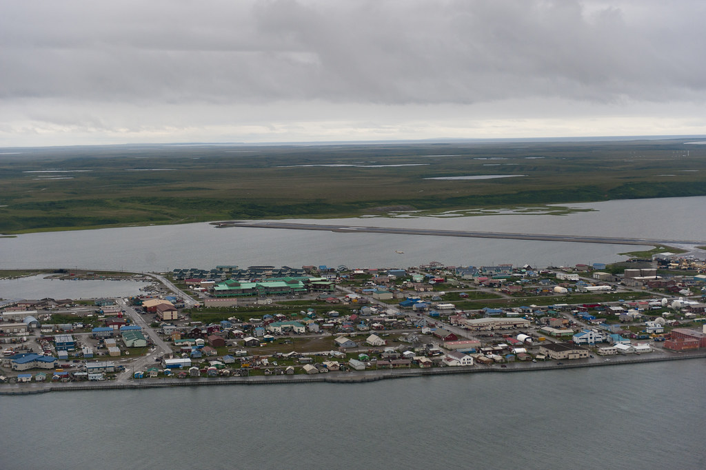
Kotzebue, also known as Qikiqtaġruk in the Inupiaq language, is a city located in the Northwest Arctic Borough in the U.S. state of Alaska. It is the borough’s seat, the largest community, and the economic and transportation hub of the subregion of Alaska encompassing the borough. According to the 2020 census, the population of the city was 3,102, down from 3,201 in 2010. Kotzebue has received an All-America City award, recognizing its community spirit and innovation.
The city is located on a sound of the same name, which opens up to the Chukchi Sea. Kotzebue is home to the Alaska Native Heritage Center, which showcases the art, culture, and history of Alaska’s indigenous peoples. The city is also a popular destination for outdoor enthusiasts, offering opportunities for hunting, fishing, hiking, and dog sledding. Despite its remote location, Kotzebue has a strong economy, fueled by the fishing and natural resource industries, as well as government services.
Seward

Seward, also known as Qutalleq in the Alutiiq language and Tl’ubugh in the Dena’ina language, is an incorporated home rule city located on Resurrection Bay, a fjord of the Gulf of Alaska on the Kenai Peninsula. With a population of 2,717 people as of the 2020 census, Seward is the fourth-largest city in the Kenai Peninsula Borough, behind Kenai, Homer, and the borough seat of Soldotna.
The city is named after former United States Secretary of State William H. Seward, who orchestrated the United States purchase of Alaska from the Russian Empire in 1867 while serving in this position as part of President Andrew Johnson’s administration. Seward is the southern terminus of the Alaska Railroad and the historic starting point of the original Iditarod Trail to Interior Alaska, with Mile 0 of the trail marked on the shoreline at the southern end of town.
The city is a popular destination for tourists, offering opportunities for fishing, hiking, wildlife viewing, and glacier tours. Seward is also home to the Alaska SeaLife Center, a research and rehabilitation facility for marine animals, and the annual Mount Marathon Race, a grueling foot race up and down the nearby mountain.
Wrangell
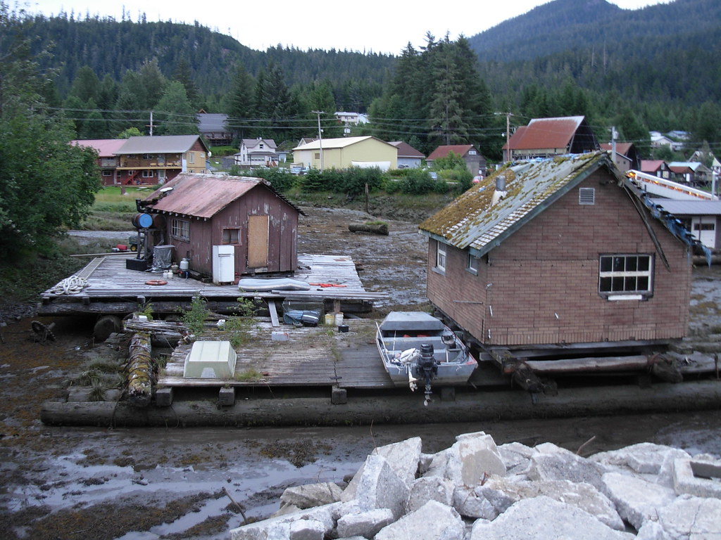
Wrangell, also known as Ḵaachx̱ana.áakʼw in the Tlingit language and Vrangel’ in Russian, is a borough located in Alaska, United States. As of the 2020 census, the population of Wrangell was 2,127, down from 2,369 in 2010. Incorporated as a Unified Home Rule Borough on May 30, 2008, Wrangell was previously a city in the Wrangell-Petersburg Census Area, which was later renamed the Petersburg Census Area. The Tlingit people living in the Wrangell area, who were there centuries before Europeans, call themselves the Shtaxʼhéen Ḵwáan after the nearby Stikine River.
Wrangell is located on Wrangell Island, in the southeast of Alaska. The borough encompasses the entire eastern half of the former Wrangell-Petersburg Census Area, in addition to the area around Meyers Chuck, which was formerly in the Prince of Wales-Outer Ketchikan Census Area. It also includes Thoms Place, a former census-designated place on Wrangell Island. The city is known for its rich history, including its Tlingit heritage, and its stunning natural beauty, with opportunities for fishing, hiking, and wildlife viewing.
Dillingham
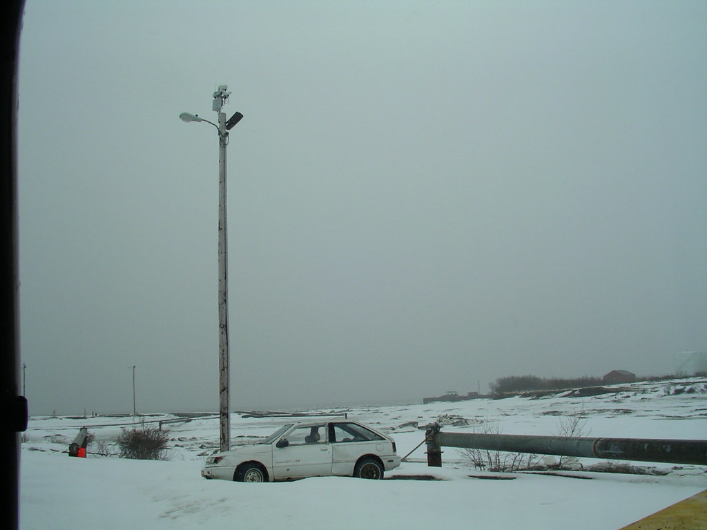
Dillingham, also known as Curyung in the Central Yupik language and Диллингхем in Russian, is a city located in the Dillingham Census Area in Alaska, United States. Incorporated in 1963, the city is an important commercial fishing port on Nushagak Bay. As of the 2020 census, the population of Dillingham was 2,249, down from 2,329 in 2010.
The city is home to the Bristol Bay Campus of the University of Alaska Fairbanks, which offers courses in a variety of fields, including fisheries, education, and business. Dillingham is also known for its stunning natural beauty, with opportunities for fishing, hunting, hiking, and wildlife viewing.
The city’s annual salmon run draws visitors from all over the world, and the local culture is deeply rooted in the traditions of the Yup’ik and Athabascan peoples who have lived in the area for generations. Despite its remote location, Dillingham has a strong economy, driven largely by the fishing industry and government services.
Cordova
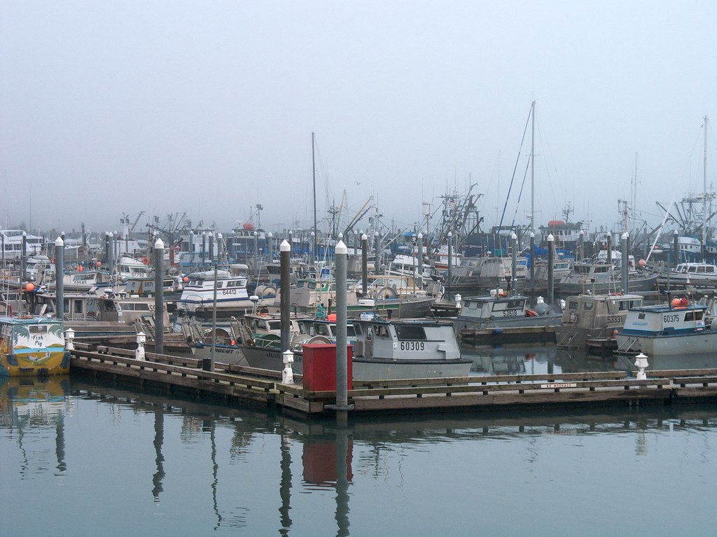
Cordova, pronounced as kor-DOH-və or KOR-də-və, is a city located in the Chugach Census Area in Alaska, United States. The city lies near the mouth of the Copper River, at the head of Orca Inlet on the east side of Prince William Sound. As of the 2020 census, the population of Cordova was 2,609, up from 2,239 in 2010. The city was named Puerto Córdoba (after Córdoba, Spain) by Spanish explorer Salvador Fidalgo in 1790.
Cordova is a remote community that is not connected to other Alaskan communities by roads. Visitors must take a plane or ferry to reach the city. Cordova is known for its stunning natural beauty, with opportunities for fishing, hiking, and wildlife viewing.
However, the city was heavily impacted by the Exxon Valdez oil spill of March 1989, when an oil tanker ran aground northwest of Cordova, damaging the ecology and fishing industry. The spill was cleaned up shortly after, but there are still lingering effects, such as a lowered population of some birds. Despite this tragedy, Cordova has remained a resilient community, with a strong economy based on fishing, government services, and tourism.
North Pole

North Pole is a small city located in the Fairbanks North Star Borough in Alaska, United States. Incorporated in 1953, the city is part of the Fairbanks metropolitan statistical area. As of the 2020 census, the population of North Pole was 2,243, up from 2,117 in 2010. Despite its name, the city is about 1,700 miles (2,700 km) south of Earth’s geographic North Pole and 125 miles (200 km) south of the Arctic Circle.
The city is known for its festive holiday spirit, with streets named after Christmas themes, such as Santa Claus Lane, and a large fiberglass statue of Santa Claus. Visitors can also enjoy the nearby Chena Lake Recreation Area, which offers opportunities for fishing, boating, and hiking. Despite its small size, North Pole has a strong economy, fueled by government services, tourism, and the nearby oil and gas industry.
Highways
Alaska Route 1

Alaska Route 1 (AK-1) is a state highway that runs through the southern part of Alaska, from Homer in the south to Tok in the east, passing through Anchorage along the way. The highway is over 800 miles long and is one of two routes in Alaska to contain significant portions of freeway, including the Seward Highway in south Anchorage and the Glenn Highway between Anchorage and Palmer.
The highway offers stunning views of Alaska’s natural beauty, including mountains, glaciers, and wildlife. It is a popular route for tourists and locals alike, offering access to a variety of recreational activities, such as hiking, fishing, and skiing. Despite its length, the highway is well-maintained and offers a smooth and safe driving experience.
Alaska Route 2

Alaska Route 2 is a state highway that runs through the central and east-central portions of Alaska, from Manley Hot Springs to the Canada-United States border. The highway passes through Fairbanks and Delta Junction and includes the entire length of the Alaska Highway in the state, with the remainder of the highway being in the Yukon Territory and British Columbia, Canada.
The highway is over 400 miles long and offers stunning views of Alaska’s natural beauty, including mountains, forests, and rivers. It is an important transportation route for both locals and tourists, providing access to a variety of recreational activities, such as camping, fishing, and hunting. Despite its remote location, the highway is well-maintained and offers a smooth and secure experience for drivers.
Alaska Route 3
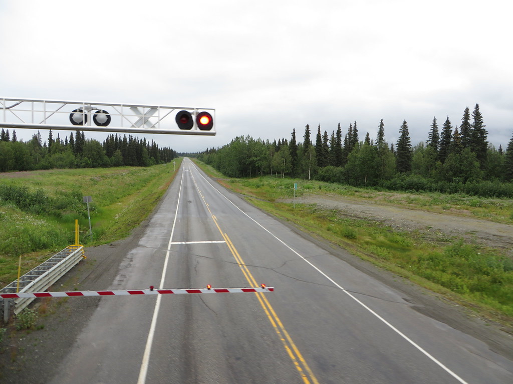
The Parks Highway, also known as Alaska Route 3, is a 323-mile-long state highway that runs from the Glenn Highway 35 miles north of Anchorage to Fairbanks in the Alaska Interior. The highway was completed in 1971 and was named after George Alexander Parks, governor of the Territory of Alaska from 1925 to 1933.
The Parks Highway is one of the most important roads in Alaska, serving as the main route between Anchorage and Fairbanks, the principal access to Denali National Park and Preserve and Denali State Park, and the main highway in the Matanuska-Susitna Valley. The highway mostly parallels the Alaska Railroad and offers stunning views of Alaska’s natural beauty, including mountains, forests, and rivers.
Two sections of the highway are built to freeway standards, including an area near the highway’s intersection with the Glenn Highway in Palmer and a stretch known as the Robert J. Mitchell Expressway in Fairbanks leading to the highway’s junction with the Richardson Highway (AK 2).
Alaska Route 4
The Richardson Highway is a 368-mile-long highway in Alaska that connects Valdez to Fairbanks, passing through Delta Junction along the way. The highway is marked as Alaska Route 4 from Valdez to Delta Junction and as Alaska Route 2 from there to Fairbanks. It also connects segments of Alaska Route 1 between the Glenn Highway and the Tok Cut-Off.
The Richardson Highway was the first major road built in Alaska, and its construction was a significant engineering feat. The highway offers stunning views of Alaska’s natural beauty, including mountains, glaciers, and wildlife. It is an important transportation route for both locals and tourists, providing access to a variety of recreational activities, such as camping, fishing, and hiking. Despite its remote location, the highway is well-kept and provides a trouble-free driving experience.
Alaska Route 5
The Taylor Highway, also known as Alaska Route 5, is a 160-mile-long highway in Alaska that extends from Tetlin Junction, about 11 miles east of Tok on the Alaska Highway, to Eagle. The highway is named after Jack Taylor, a miner who discovered gold in the area in 1881.
The Taylor Highway offers stunning views of Alaska’s natural beauty, including mountains, forests, and rivers. It is a popular route for tourists and locals alike, providing access to a variety of recreational activities, such as camping, fishing, and hiking. The highway is mostly gravel and can be challenging to navigate, particularly in wet or snowy conditions. However, it is well-maintained and offers a unique and unforgettable driving experience for those who venture along its winding path.
Alaska Route 6
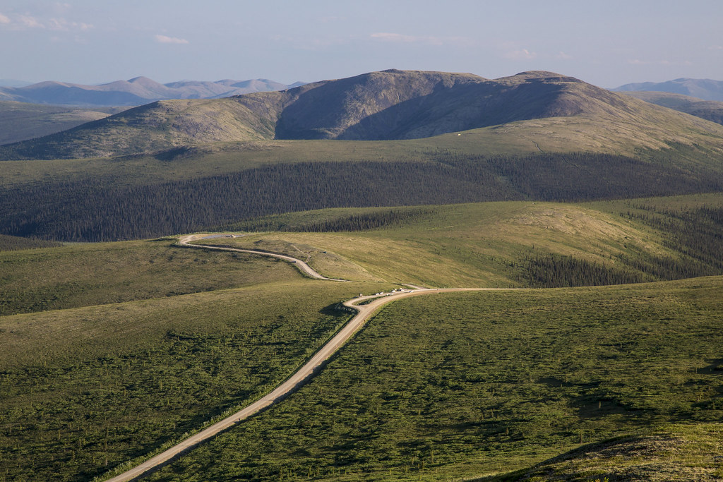
The Steese Highway, also known as Alaska Route 6, is a 161-mile-long highway in the Interior region of Alaska that extends from Fairbanks to Circle, a town on the Yukon River about 50 miles south of the Arctic Circle. The highway was completed in 1927 and is named after U.S. Army General James G. Steese, a former president of the Alaska Road Commission.
The highway is paved for about the first 81 miles and around the town of Central it turns to dirt and gravel. Much of it is narrow and winding, making it a challenging but rewarding drive. The Steese Highway is designated as a National Scenic Byway and offers stunning views of Alaska’s natural beauty, including mountains, forests, and wildlife.
It is a popular route for tourists and locals alike, providing access to a variety of recreational activities, such as camping, fishing, and hiking. Despite its remote location, the highway is well-kept and offers a distinctive and unforgettable driving experience.
Alaska Route 7
Alaska Route 7, abbreviated as AK-7, is a state highway that serves the Alaska Panhandle region. The highway consists of four unconnected pieces, serving some of the Panhandle communities where the Alaska Marine Highway ferries stop, connecting to the Alaska Highway in Yukon via the Haines Highway.
The highway offers stunning views of Alaska’s natural beauty, including mountains, glaciers, and coastal scenery. It is an important transportation route for both locals and tourists, providing access to a variety of recreational activities, such as fishing, kayaking, and hiking. Despite its remote location, the highway is well-maintained and offers a smooth and safe experience for drivers. The highway is an important link between the communities of the Alaska Panhandle and the rest of the state.
Alaska Route 8
The Denali Highway, also known as Alaska Route 8, is a lightly traveled, mostly gravel highway in Alaska that leads from Paxson on the Richardson Highway to Cantwell on the Parks Highway. The highway was opened in 1957 and was the first road access to Denali National Park. However, since 1971, primary park access has been via the Parks Highway, which incorporated a section of the Denali Highway from Cantwell to the present-day park entrance.
The Denali Highway is 135 miles long and offers stunning views of Alaska’s natural beauty, including mountains, glaciers, and wildlife. It is a popular route for tourists and locals alike, providing access to a variety of recreational activities, such as camping, fishing, and hiking. The highway is mostly gravel and can be challenging to navigate, particularly in wet or snowy conditions. However, it offers a unique and unforgettable driving experience for those who venture along its winding path.
Alaska Route 9
The Seward Highway is a 125-mile-long highway in Alaska that extends from Seward to Anchorage, running through the scenic Kenai Peninsula, Chugach National Forest, Turnagain Arm, and Kenai Mountains. The highway was completed in 1951 and offers stunning views of Alaska’s natural beauty, including glaciers, mountains, and wildlife.
The Seward Highway is numbered Alaska Route 9 (AK-9) for the first 37 miles from Seward to the Sterling Highway and AK-1 for the remaining distance to Anchorage. At the junction with the Sterling Highway, AK-1 turns west towards Sterling and Homer. About eight miles of the Seward Highway leading into Anchorage is built to freeway standards, offering a smooth and safe driving experience. In Anchorage, the Seward Highway terminates at an intersection with 5th Avenue, which AK-1 is routed to and leads to the Glenn Highway freeway.
The Seward Highway is an important transportation route for both locals and tourists, providing access to a variety of recreational activities, such as fishing, hiking, and skiing.
Alaska Route 10
Alaska Route 10 refers to two unconnected highways in Alaska. The Copper River Highway is a 49-mile-long highway that runs from Cordova to the Million Dollar Bridge in the Chugach National Forest. The highway offers stunning views of Alaska’s natural beauty, including glaciers, mountains, and wildlife.
It is mostly paved and well-maintained, offering a straightforward and secure driving experience. The Edgerton Highway and McCarthy Road are located in the Wrangell-St. Elias National Park and Preserve. The Edgerton Highway is a 33-mile-long highway that runs from Chitina to the town of Kenny Lake, while the McCarthy Road is a 60-mile-long gravel road that runs from the end of the Edgerton Highway to the town of McCarthy.
These highways offer access to some of Alaska’s most remote and beautiful wilderness areas, including glaciers, mountains, and rivers. Despite their remote location, the highways are well-kept and offer a unique and unforgettable driving experience for those who venture along their winding paths.
Alaska Route 11
The James W. Dalton Highway, also known as Alaska Route 11, is a 414-mile-long road in Alaska that begins at the Elliott Highway, north of Fairbanks, and ends at Deadhorse near the Arctic Ocean and the Prudhoe Bay Oil Fields. The highway was built in 1974 as a supply road to support the Trans-Alaska Pipeline System and was once called the North Slope Haul Road.
It is named after James Dalton, an Alaskan engineer who supervised the construction of the Distant Early Warning Line in Alaska and served as a consultant in early oil exploration in northern Alaska. The Dalton Highway is a popular route for tourists and locals alike, offering stunning views of Alaska’s natural beauty, including mountains, tundra, and wildlife.
However, it is also known for its challenging and dangerous driving conditions, particularly in winter when it can be impassable due to snow and ice. The highway has been featured in several TV shows, including America’s Toughest Jobs and the BBC’s World’s Most Dangerous Roads.

