| Maryland County Formation years | ||||||||||||||
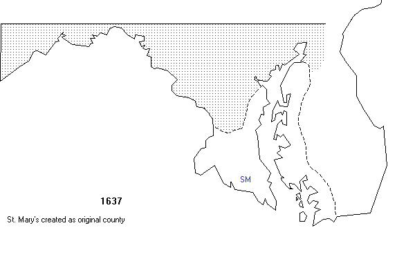
| 1637 | 1642 | 1650 | 1654 | 1658 | 1662 | 1666 | 1669 | 1671 | 1672 | 1673 | 1674 | 1685 | 1695 | 1696 |
| 1698 | 1706 | 1707 | 1727 | 1742 | 1748 | 1750 | 1760 | 1773 | 1774 | 1776 | 1789 | 1791 | 1824 | 1837 |
| 1851 | 1867 | 1872 | 1880 | 1888 | 1918 | 1997 | ||||||||
| Maryland County Census Year with Modern Map overlayed: | ||||||||||||||
| 1790 | 1800-1820 | 1830 | 1840-1850 | 1860 | 1870 | 1880-1910 | 1920-1930 | |||||||
| Maryland Map Abbreviations | ||||
|---|---|---|---|---|
| unorg. = unorganized g. = gained w. = with fr. = from atmt. = attachment exch = exchanged nca.= non county area ch. = changed |
AA - Anne Arundel AL - Allegany Ba - Baltimore BC - Baltimore City Cal - Calvert Ce - Cecil |
Cha - Charles Cln - Caroline Crl - Carroll Do - Dorchester Fr - Frederick Ga - Garrett |
Ha - Harford Ho - Howard Ke - Kent Mo - Montgomery PG - Prince George's QA - Queen Anne's |
SM - St. Mary's So - Somerset Ta - Talbot Wa - Washington Wi - Wicomico Wo - Worcester |