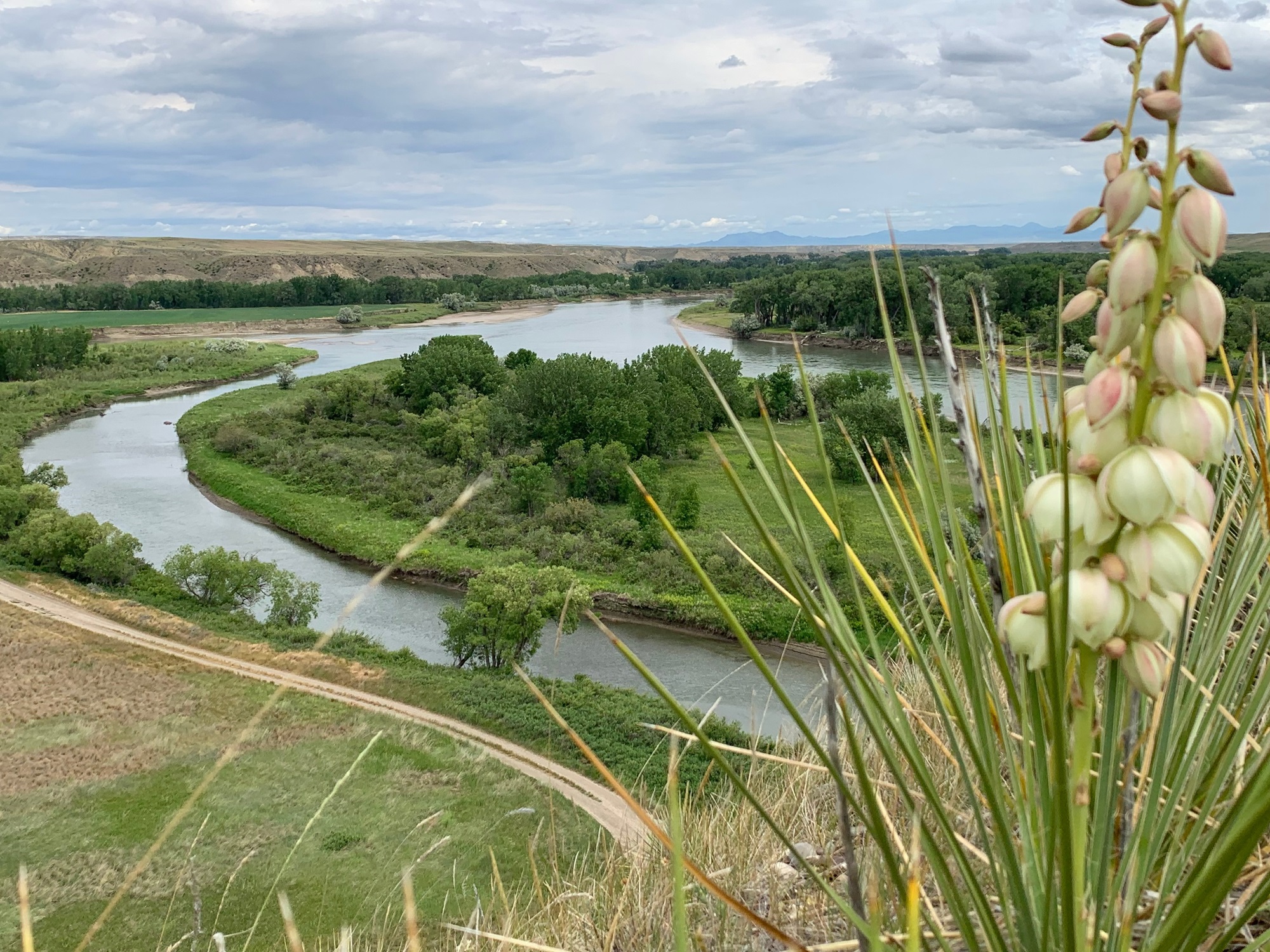
Marias River State Park sits at the historic confluence of the Marias and Missouri Rivers in north-central Montana’s Toole County, covering 2,011 acres of rolling prairie and cottonwood-lined riverbanks. This is Lewis and Clark country — the expedition camped near this very confluence in 1805, spending days debating which fork was the true Missouri. That sense of wide-open discovery still defines the place.
The park’s landscape is classic Montana shortgrass prairie meeting river bottomland. Steep bluffs overlook the water, offering long views across treeless hills that stretch to the horizon. Down along the river, mature cottonwood groves provide welcome shade and habitat for white-tailed deer, wild turkeys, and a surprising variety of songbirds. Bald eagles are a common sight along the water, particularly in late fall and winter.
Fishing draws many visitors here. The Missouri River section holds walleye, sauger, northern pike, and channel catfish, with walleye being the main draw for anglers who know the area. Boat launches provide river access for both fishing and float trips. Hiking and wildlife watching round out the activity list, and the uncrowded trails make this a peaceful alternative to Montana’s more trafficked parks.
Late spring through early fall offers the best conditions, with June and September striking the sweet spot between warm weather and fewer visitors. Summer days are long and dry, but temperatures can swing sharply — bring layers for cool river evenings. Wind is a constant companion on the prairie, so stake your gear accordingly.
Explore Nearby
- Centennial Mountains — Public Land in Montana
- Upper Missouri River Breaks National Monument — Public Land
- Helena–Lewis and Clark National Forest — National Forest in Montana