
Old Spanish Trail National Historic Trail
Utah
The Old Spanish Trail is an historical trade route that connected the northern New Mexico settlements of (or near) Santa Fe, New Mexico with those of Los Angeles, California and southern California. Approximately 700 mi (1,100 km) long, the trail ran through areas of high mountains, arid deserts, and deep canyons. It is considered one of the most arduous of all trade routes ever established in the United States. Explored, in part, by Spanish explorers as early as the late 16th century, the trail saw extensive use by pack trains from about 1830 until the mid-1850s. The name of the trail comes from the publication of John C. Fr mont’s Report of his 1844 journey for the U.S. Topographical Corps., guided by Kit Carson, from California to New Mexico. The name acknowledges the fact that parts of the trail had been known to the Spanish since the 16th century. The trail is important to New Mexico history because it established an arduous but usable trade route with California.
Old Spanish National Historic Trail Mobile Map
Learn more about the Old Spanish National Historic Trail Mobile Map that offers informative and interpretive information about points of interest along the trail. Using the mobile map while exploring the trail provides a more interactive experience to learn about the history of the trail.
Explore Nearby
- Yuba State Park — State Park in Utah
- Willard Bay State Park — State Park in Utah
- Fishlake National Forest — National Forest in Utah
- Dixie National Forest — National Forest in Utah
- Upper Colorado River Scenic Byway — Scenic Byway in Utah
Nearby Discoveries
12 places to explore within 30 miles
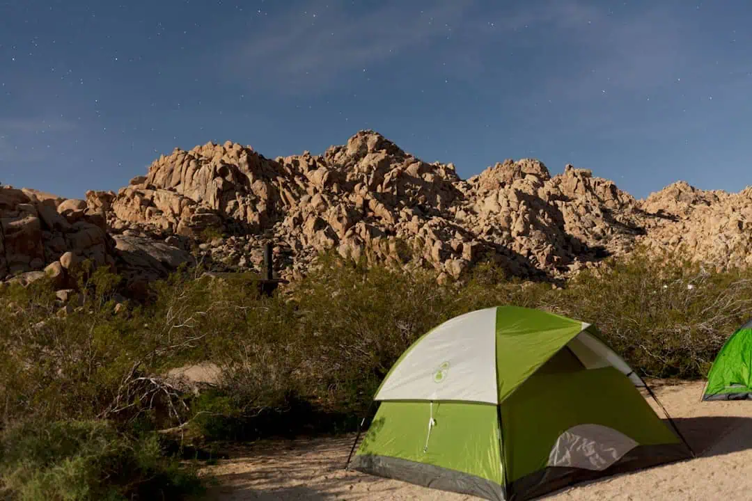
Gooseberry Mesa National Recreation Trail
0 miles away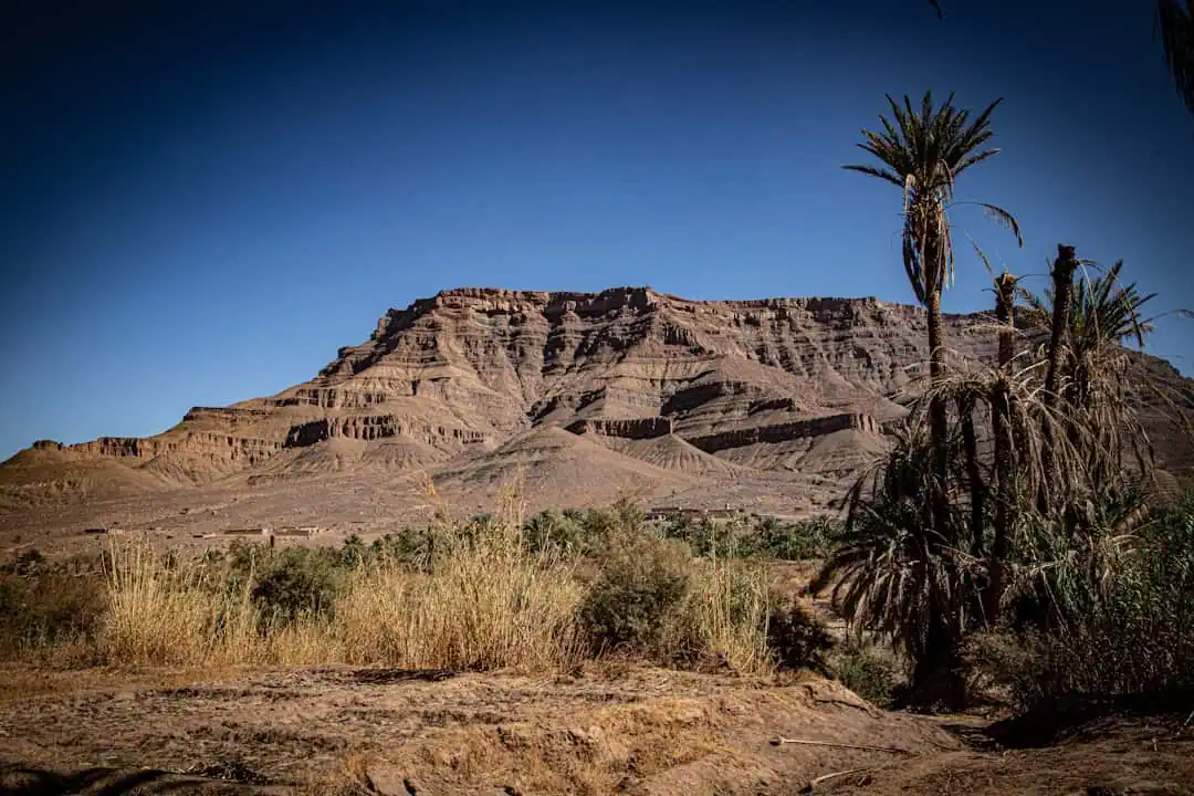
California National Historic Trail (NHT), Bidwell-Bartelson Route
0 miles away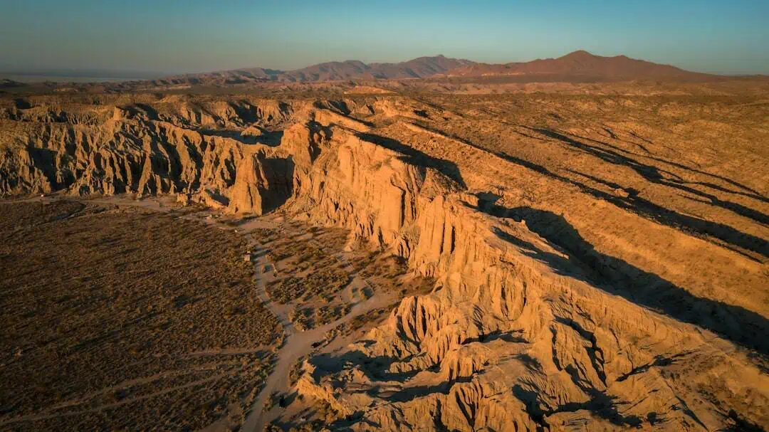
Wah Wah Mountains WSA
0 miles away
North Fork Virgin River Merriam’s Turkey Viewing Area
0 miles away
Joy Townsite
0 miles away
Steep Creek WSA
0 miles away
s scenic Grand Staircase-Escalante National Monument
0 miles away
Horseshoe Knolls
0 miles away
Kolob Creek Wild and Scenic River
0 miles away
Knolls Off-Highway Vehicle Special Recreation Management Area (SRMA)
0 miles away
Devil’s Playground Designated Routes
0 miles away
