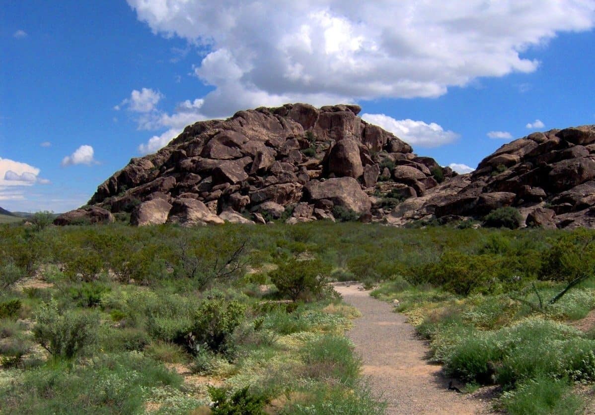
The McGregor Range includes over 606,000 acres of withdrawn public lands on the west side of Otero Mesa. These lands are jointly managed by the BLM and the U.S. Army, in accordance with the Military Lands Withdrawal Act of 1999 and subsequent McGregor Range Resource Management Plan (2006).
The range is open to the public when authorized by the Army through a “Fort Bliss Training Complex (FBTC) Recreational Access Permit.” The range is closed to the public during training exercises. After receiving a permit, you must receive permission to enter the range on a case-by-case, day-by-day basis.
The public may drive through the range without a permit only on State Road 506 and on County Roads. Use of all other roads requires a permit from the Army. The public is not authorized to drive off of established roads.
Explore Nearby
- Hueco Tanks State Park and Historic Site — State Park in Texas
- Franklin Mountains State Park — State Park in Texas
- Lincoln National Forest — National Forest in New Mexico
- Geronimo Trail National Scenic Byway — Scenic Byway in New Mexico
- Geronimo Trail Scenic Byway — Scenic Byway in New Mexico