
Route One, Big Sur Coast Highway
California
72.0 miles
Winding 72 miles along California’s rugged Central Coast, the Big Sur Coast Highway delivers one of America’s most breathtaking drives. This All-American Road traces the edge of the continent from the San Luis Obispo–Monterey county line north to charming Carmel-by-the-Sea, where it concludes at Ocean Avenue.
Prepare for jaw-dropping scenery at every turn. Sheer cliffs plunge hundreds of feet into the churning Pacific while the Santa Lucia Mountains rise dramatically to the east. Stop at Bixby Creek Bridge for that iconic photograph, explore the ethereal purple sands of Pfeiffer Beach, and stretch your legs among ancient redwoods at Julia Pfeiffer Burns State Park, home to the famous McWay Falls cascading onto a pristine cove.
Wildlife enthusiasts can spot elephant seals, sea otters, California condors, and migrating gray whales. Quaint stops like Nepenthe restaurant offer cliffside dining with panoramic views.
Allow at least three to four hours for the drive alone—more if you want to explore. Spring and fall offer ideal conditions with clearer skies and fewer crowds. Summer brings fog that can obscure views, though it creates its own moody atmosphere.
This is a road trip that stays with you forever. Come discover why Big Sur captures the heart of every traveler.
Explore Nearby
- Zmudowski State Beach — State Park in California
- Woodson Bridge State Recreation Area — State Park in California
- Tahoe National Forest — National Forest in California
- Stanislaus National Forest — National Forest in California
- Zane’s Ranch Covered Bridge — Covered Bridge in California
Photos
Nearby Discoveries
12 places to explore within 30 miles
Chambless Rock Collecting Area
0 miles away
Fish Slough Area of Critical Environmental Concern
0 miles away
Arroyo Seco Historic Parkway – I-110/SR 110
0 miles away
Iron Mountain Divisional Camp -Patton
0 miles away · 2.9 ★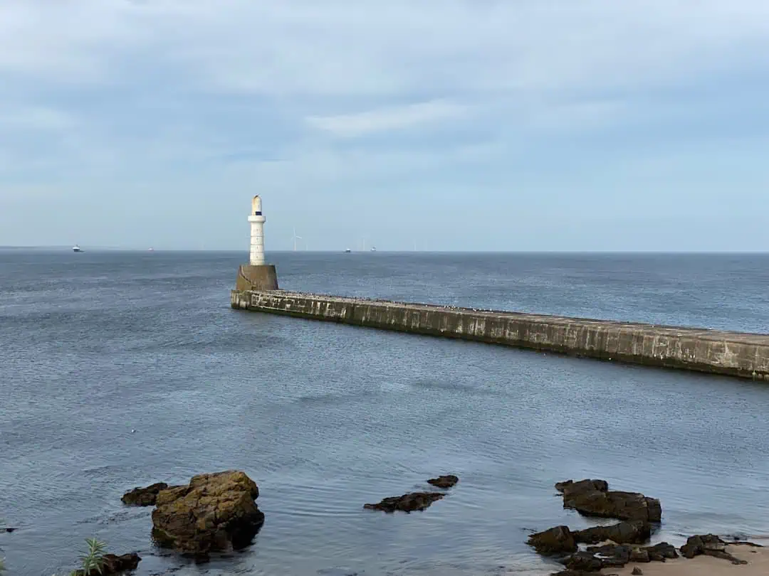
Passamaquoddy Lighthouse(Used in the 1977 movie Pete’s Dragon)
0 miles away
Boulder Reservoir
0 miles away · 4.1 ★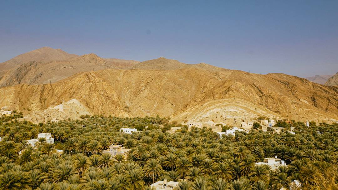
Jawbone/Butterbredt Recreation Management Area
0 miles away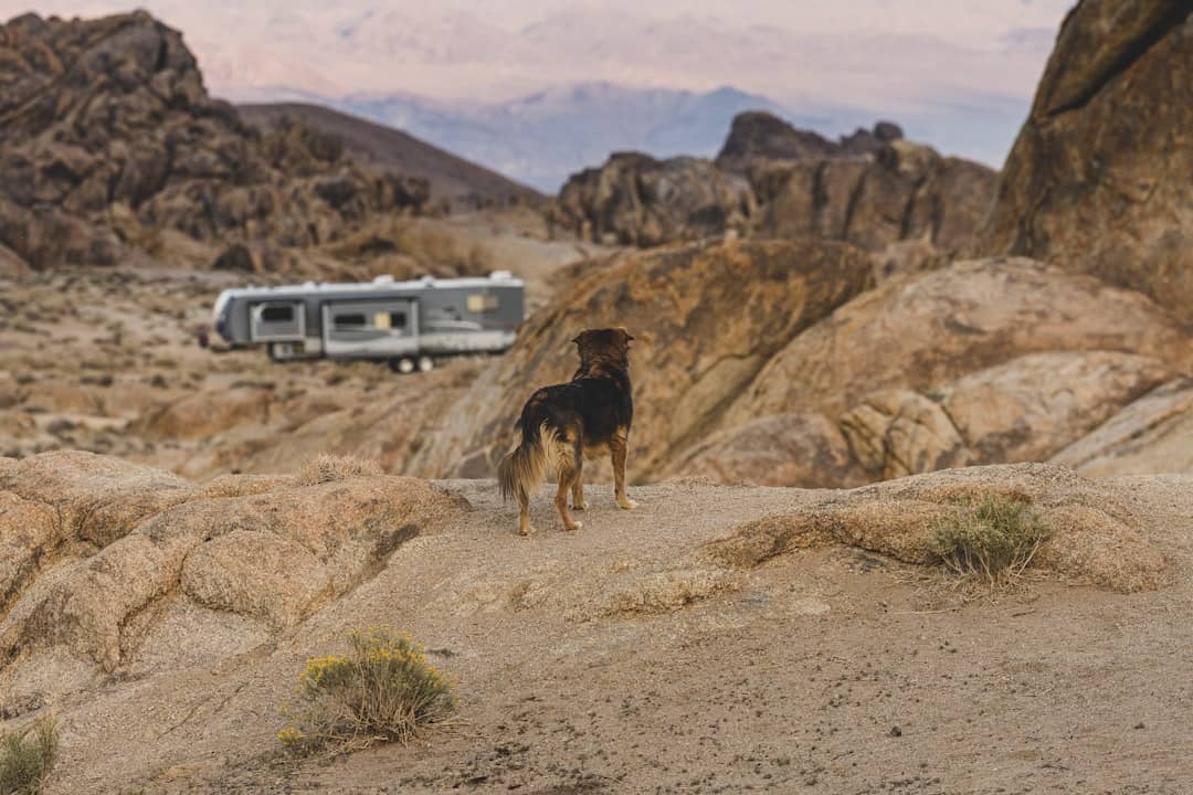
Palm Springs-South Coast Field Office
0 miles away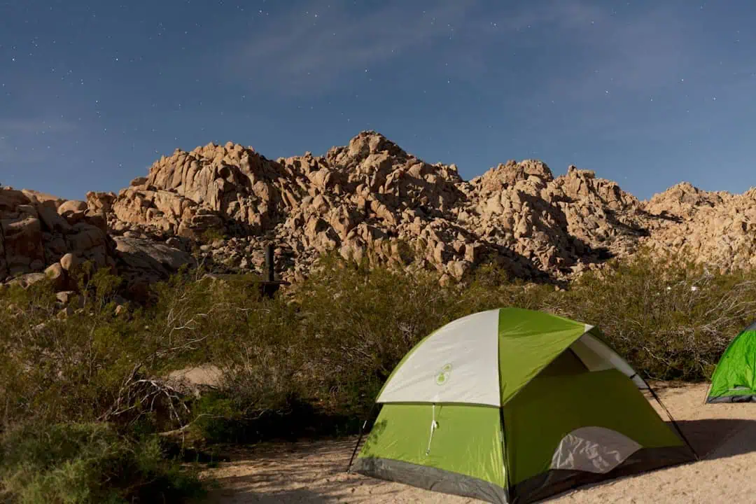
Cupcake Mountain Hiking Trail
0 miles away
American River North Middle South Forks
0 miles away
Hwy 139 Antelope Pit
0 miles away
