Norris Freeway
Tennessee
21.0 miles
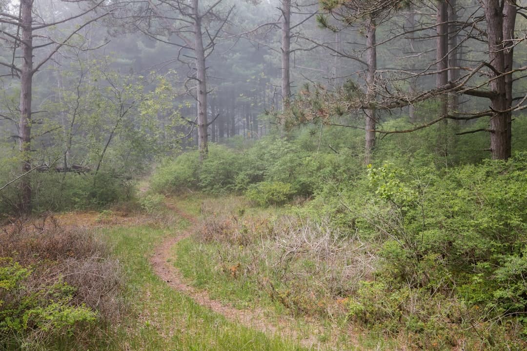
Winding through the heart of East Tennessee, the Norris Freeway offers 21 miles of captivating Appalachian beauty between Halls Crossroads and Rocky Top. This National Scenic Byway follows a route steeped in New Deal-era history, passing through landscapes shaped by the Tennessee Valley Authority’s first major project.
The drive reveals rolling hills blanketed in hardwood forests, with dogwoods and redbuds painting the roadsides in spring and brilliant foliage transforming the corridor each autumn. Norris Dam State Park anchors the journey, where visitors can explore the historic dam, hike wooded trails, and enjoy stunning views of Norris Lake’s emerald waters stretching into tree-lined coves.
Stop at the Lenoir Museum Cultural Complex to discover pioneer-era artifacts and an authentic 18th-century grist mill. The Civilian Conservation Corps-built structures throughout the area showcase remarkable Depression-era craftsmanship that earned the region its historic designation.
Spring wildflower season and peak fall color (mid-October) offer the most spectacular scenery, though summer brings excellent lake recreation opportunities. Allow one to two hours for the drive itself, but budget a full day to properly explore the dam, museums, hiking trails, and charming planned community of Norris—one of America’s first model towns.
Explore Nearby
- Norris Dam State Park — State Park in Tennessee
- Cove Lake State Park — State Park in Tennessee
- Obed Wild and Scenic River — Dark Sky Site in Tennessee
- Harrisburg Covered Bridge — Covered Bridge in Tennessee
- Harris Covered Bridge — Covered Bridge in Oregon
Photos

Nearby Discoveries
10 places to explore within 30 miles

Norris Dam State Park
0 miles away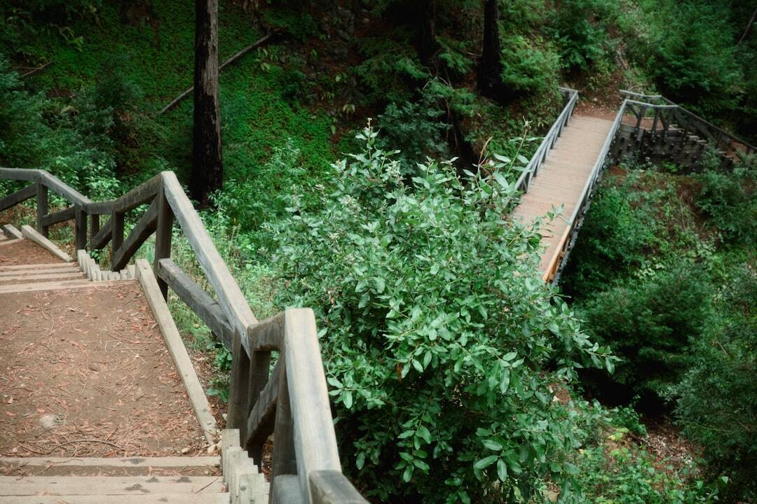
Cove Lake State Park
7.5 miles away
Big Ridge State Park
10.3 miles away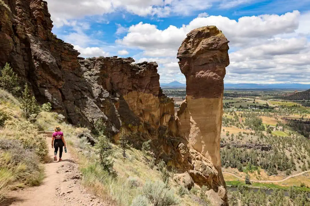
Campbell Bend Barrens State Natural Area
16.4 miles away
Walnut Knob State Natural Area
19.4 miles away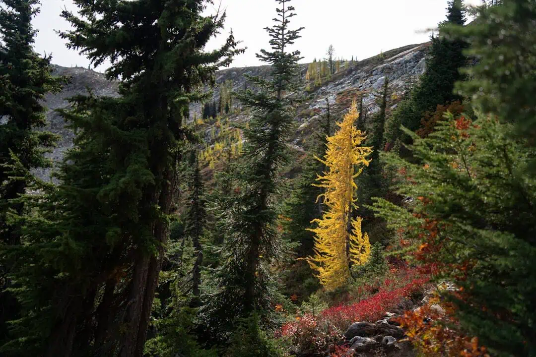
House Mountain State Natural Area
21.4 miles away
Morrison Meadow State Natural Area
23.5 miles away
Frozen Head State Park
23.5 miles away
Frozen Head State Natural Area
23.5 miles away