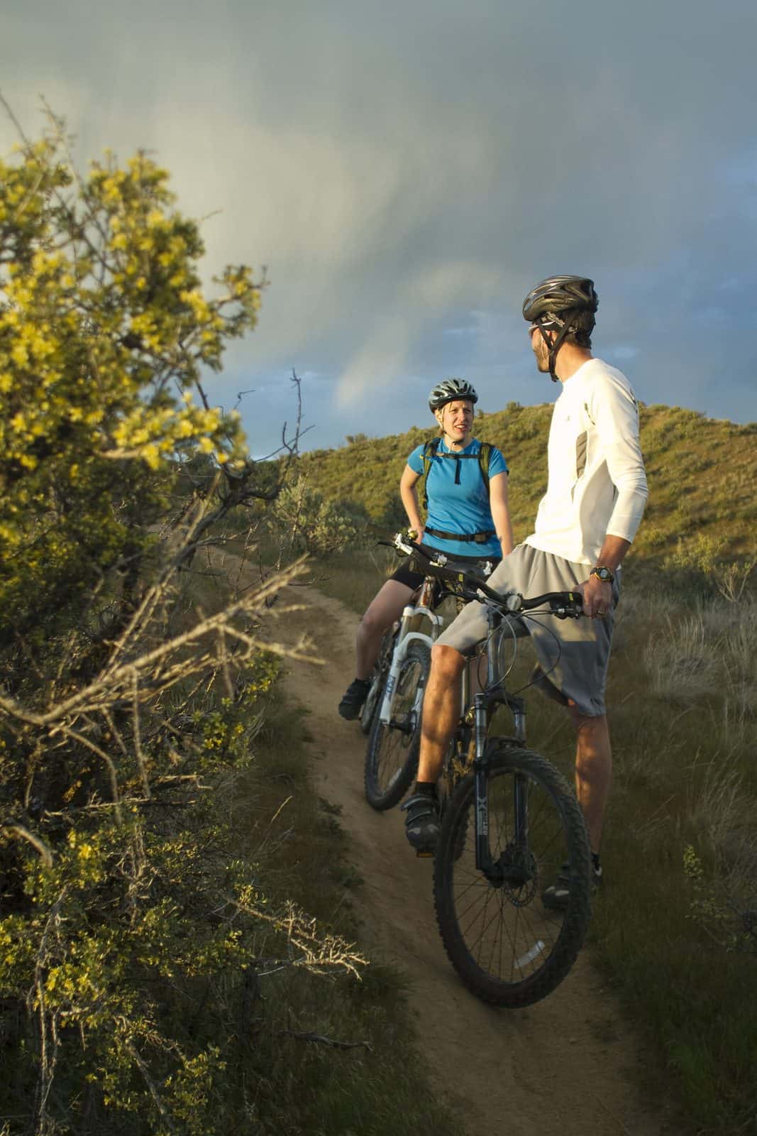
The Boise Foothills rise above Idaho‘s Capitol and largest city, providing a postcard backdrop that inspires and soothes the soul. An interconnected network of roads and trails courses through these hills, linking not only neighborhoods with public lands but also connecting people with the natural environment. With over 190 miles of trail, the Ridge to Rivers Trail System provides a variety of experiences and opportunities. Some trails are steep and require skill or stamina to negotiate, while others are more gradual and suitable for a wide range of abilities. The Hulls Gulch National Recreation Trail is part of this system. This trail system is managed through a multi-agency partnership including BLM, the City of Boise, Ada County Parks and Waterways, the Boise National Forest and the Idaho Department of Fish and Game.
Explore Nearby
- Lucky Peak State Park — State Park in Idaho
- Eagle Island State Park — State Park in Idaho
- Ridgetop Scenic Byway — Scenic Byway in Kentucky
- Payette River Scenic Byway — Scenic Byway in Idaho
- Boise National Forest — National Forest in Idaho


