Lower Table Rock-Oak Savannah Trail offers an accessible half-mile round-trip hike through one of Oregon‘s rare oak savannah ecosystems, managed by the Bureau of Land Management. This easy gravel path gains just 80 feet in elevation, making it suitable for visitors of varying mobility levels, including those using wheelchairs or strollers on the maintained sections.
Interpretive signs along the route explain the unique ecology of the Rogue Valley’s table rocks, including vernal pools and native wildflowers that peak in spring. The trail provides views of the distinctive andesite plateau without requiring the steeper climb to the summit via other routes.
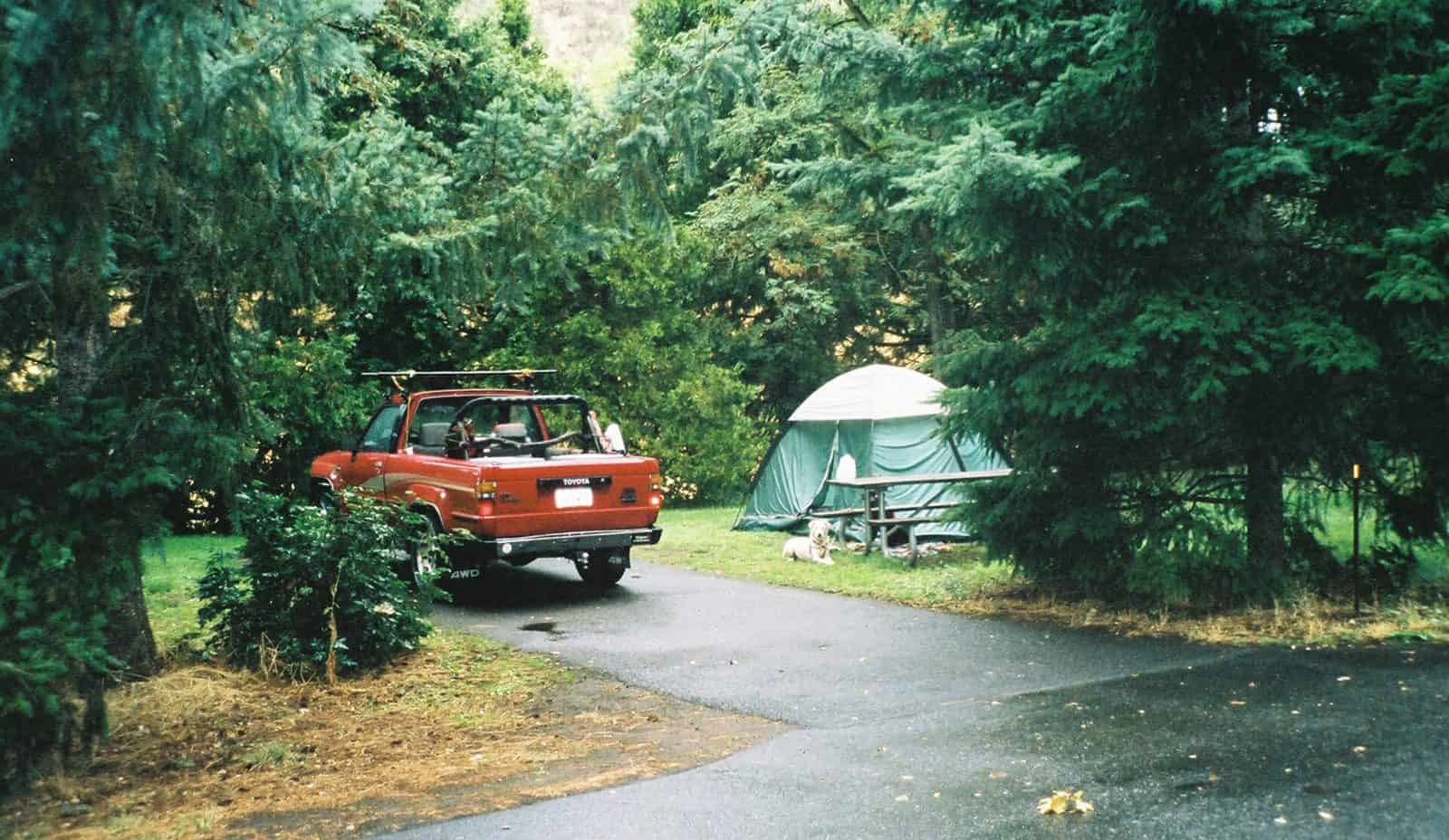
No drinking water is available on-site, so pack accordingly. The area lacks developed campgrounds, but dispersed camping may be permitted on adjacent BLM lands—contact the Medford District office for current regulations and fire restrictions before planning an overnight stay.
Best visited March through May when wildflowers bloom and temperatures remain moderate. Summer months bring intense heat to this exposed terrain. Allow 30 minutes for the interpretive walk, longer for photography during peak bloom season.
Explore Nearby
- TouVelle State Recreation Site — State Park in Oregon
- Valley of the Rogue State Recreation Area — State Park in Oregon
- Rogue-Umpqua Scenic Byway — Scenic Byway in Oregon
- Umpqua National Forest — National Forest in Oregon
- Rogue River–Siskiyou National Forest — National Forest in Oregon, California