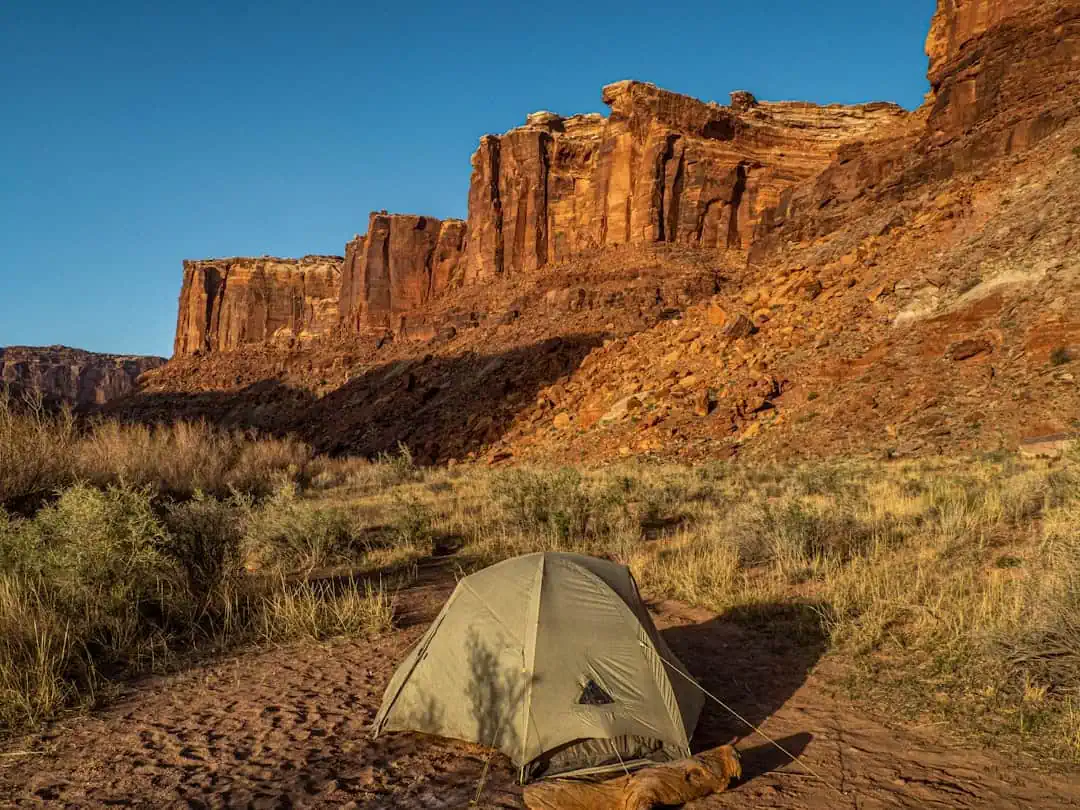
Coronado Trail Scenic Byway
Arizona
123.0 miles
The Coronado Trail Scenic Byway winds 123 miles through eastern Arizona‘s rugged wilderness, following the approximate route Spanish explorer Francisco Vásquez de Coronado traveled in 1540. This National Scenic Byway climbs from the copper mining town of Morenci through the Apache-Sitgreaves National Forest, ascending over 5,000 feet in elevation as it twists through more than 400 curves toward Springerville.
Travelers experience dramatic transitions from Sonoran Desert landscapes to alpine meadows and dense stands of ponderosa pine, spruce, and aspen. Wildlife sightings are common—watch for elk, mule deer, black bears, and wild turkeys. The route passes Blue Vista overlook, offering sweeping panoramas of the Blue Range Primitive Area, and skirts Hannagan Meadow, a peaceful high-country retreat at 9,100 feet.
Key stops include the historic mining viewpoints near Morenci, Rose Peak’s spectacular vistas, and the charming mountain communities along the way. Fall brings spectacular golden aspen displays, while summer offers cool mountain temperatures and wildflower-dotted meadows.
Allow four to five hours for the drive without stops—longer to fully appreciate the scenery and stretch your legs at overlooks. The route is best traveled late spring through early fall, as winter brings snow closures at higher elevations. This is Arizona’s most winding, wild, and rewarding mountain drive.
Explore Nearby
- Gila Box Riparian National Conservation Area — Public Land in Arizona
- Black Hills Back Country Byway — Public Land in Arizona
- Cosmic Campground Dark Sky Park — Dark Sky Site in Colorado
- Roper Lake State Park — State Park in Arizona
- Dankworth Pond State Park — State Park in Arizona
Photos

Nearby Discoveries
7 places to explore within 30 miles

Gila Box Riparian National Conservation Area
16.4 miles away · 4.7 ★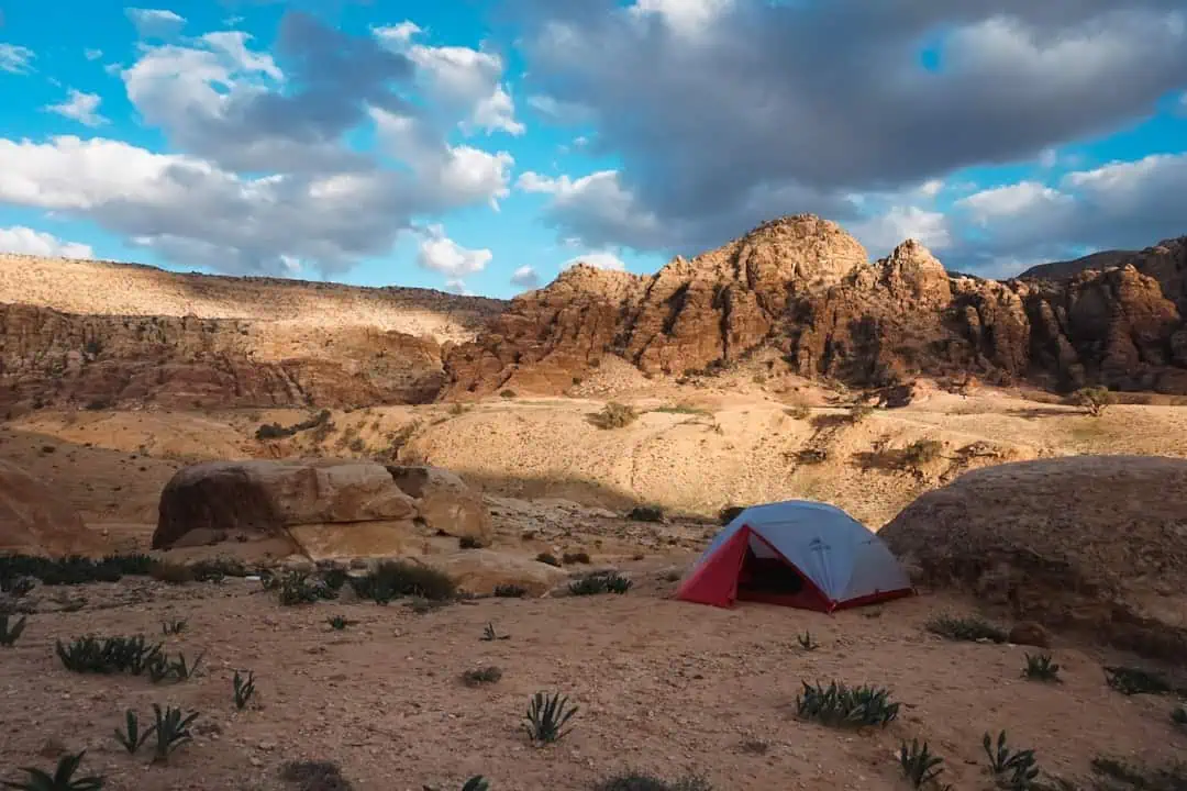
Black Hills Back Country Byway
17.8 miles away
Canyon Overlook Picnic Area
18.7 miles away
Safford-Morenci Trail
19.7 miles away
Hoverrocker Wilderness Study Area
23.9 miles away
Apache Box Wilderness Study Area
28.5 miles away