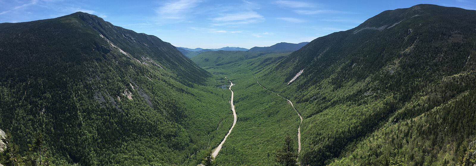
Spanning over 761,000 acres across New Hampshire and Maine, White Mountain National Forest offers some of the most dramatic mountain scenery in the northeastern United States. Established in 1918 following years of conservation efforts—including the tireless work of activist Katherine Sleeper Walden—this protected landscape features rugged peaks, alpine zones, and cascading waterfalls that draw hikers from around the world.
The forest’s crown jewel is Mount Washington, the highest peak in the Northeast at 6,288 feet, known for its extreme weather and panoramic summit views. The Appalachian Trail passes through the forest, and hundreds of miles of additional trails range from easy riverside walks to challenging above-treeline scrambles. Franconia Ridge, Crawford Notch, and the Pemigewasset Wilderness provide unforgettable backcountry experiences.
Twenty-two campgrounds serve visitors throughout the forest, including popular options like Dolly Copp near Gorham and the Waterville Campground in the southern section. Big Rock and Sugarloaf 1 offer quieter alternatives for those seeking solitude. The historic Russell-Colbath Barn provides a glimpse into the region’s settlement history.
Fall foliage season, typically mid-September through mid-October, transforms the mountainsides into brilliant displays of orange, red, and gold. Summer brings comfortable hiking temperatures, while winter opens opportunities for backcountry skiing and snowshoeing.
Access points include Conway and Berlin in New Hampshire, with Route 16 and the Kancamagus Highway providing scenic drives through the forest’s heart. Most facilities operate seasonally from late May through October.
Explore Nearby
- White Mountain Trail — Scenic Byway in New Hampshire
- Crawford Notch State Park — State Park in New Hampshire
- Willey House Historic Site sits within Crawford Notch State Park — State Park in New Hampshire
- Kancamagus Scenic Byway — Scenic Byway in New Hampshire
- Mount Orne Bridge — Covered Bridge in New Hampshire