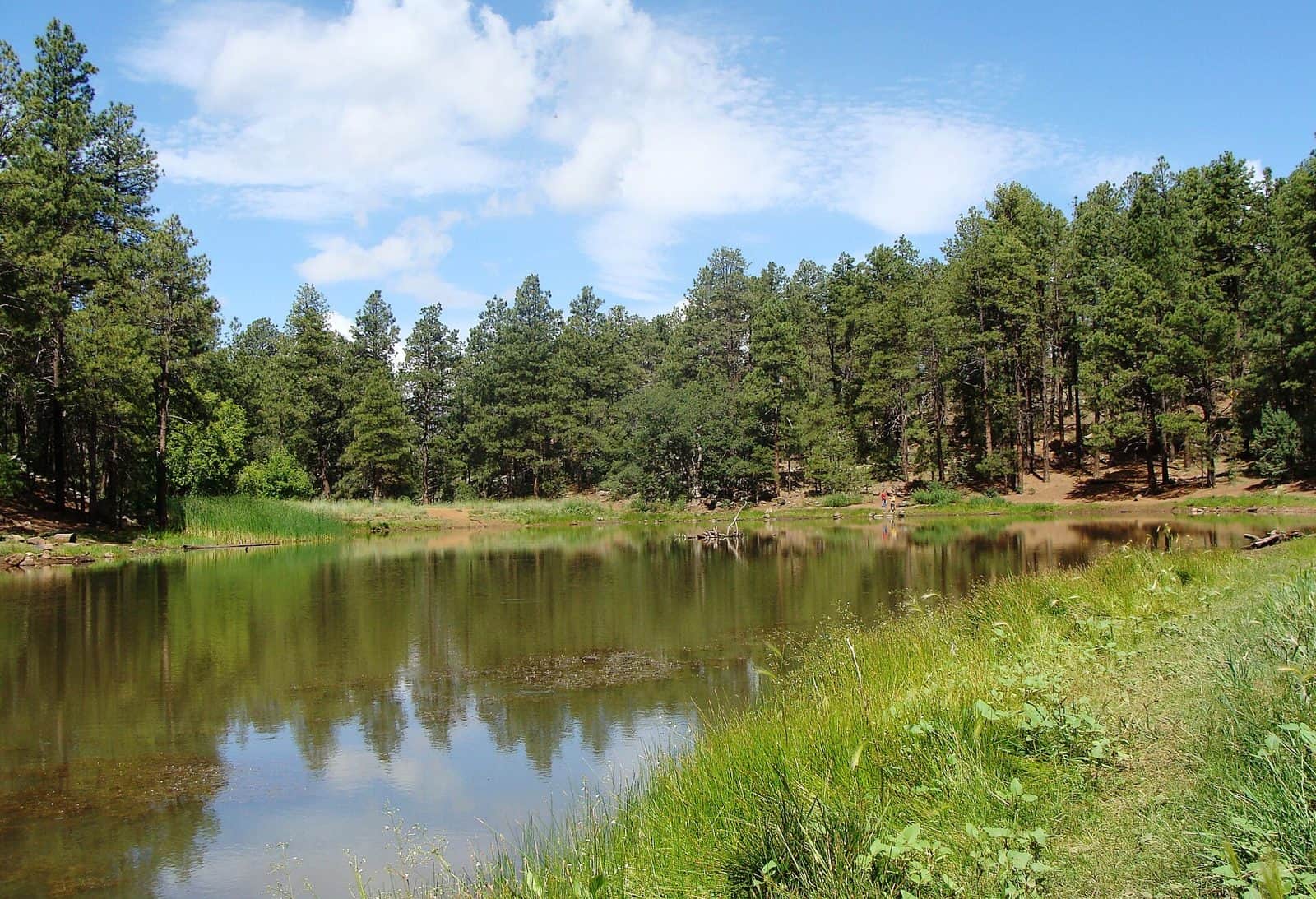
Spanning 1.3 million acres across north-central Arizona, Prescott National Forest offers a striking landscape of ponderosa pine forests, granite boulder formations, and high desert grasslands. Established in 1908, this forest sits at elevations ranging from 3,000 to nearly 8,000 feet, creating diverse ecosystems within a short drive of each other.
The forest divides into three distinct ranger districts: Chino Valley to the north, Bradshaw to the southwest, and Verde to the southeast. Thumb Butte, a prominent granite landmark just minutes from downtown Prescott, provides accessible day hiking with panoramic views of the surrounding mountains. The Granite Mountain Wilderness showcases massive boulder outcroppings popular with rock climbers and hikers alike.
Sixteen developed campgrounds accommodate various camping styles. Hilltop Campground and Groom Creek Schoolhouse offer traditional tent and RV sites, while Groom Creek Horse Camp caters to equestrian visitors exploring the extensive trail system. Playground Group serves larger parties seeking a base camp for extended stays.
The best visiting window runs from April through October, though the forest remains accessible year-round at lower elevations. Summer temperatures stay comfortable in the high country while Phoenix bakes in triple digits, making this a popular escape for southern Arizona residents. Fall brings golden aspens to the higher reaches, and mild winters allow for continued exploration when snow levels permit.
Prescott, Arizona sits adjacent to the forest boundary, providing full services including gear shops, restaurants, and lodging within minutes of trailheads.
Explore Nearby
- Granite Mountain Hotshots Memorial State Park — State Park in Arizona
- Jerome State Historic Park — State Park in Arizona
- Hassayampa River Canyon Wilderness — Public Land in Arizona
- Upper Burro Creek Wilderness — Public Land in Arizona
- Camp Verde, Arizona Dark Sky Park — Dark Sky Site in Arizona
