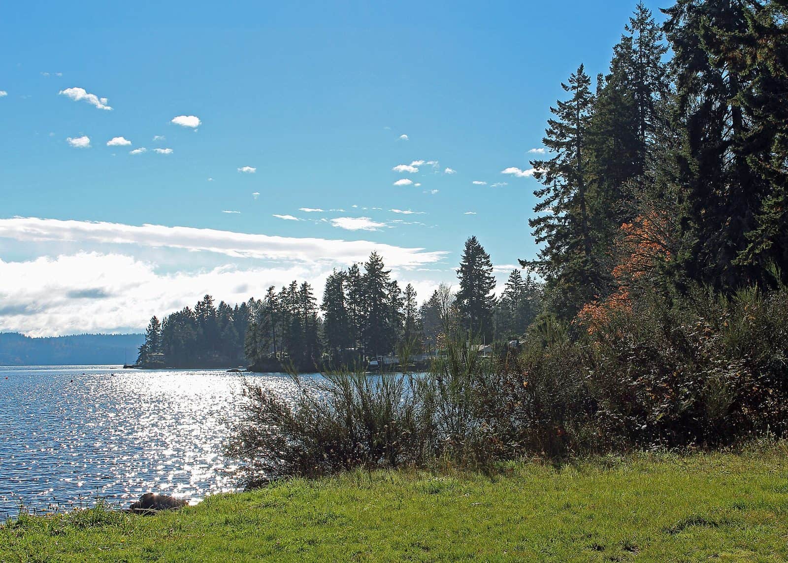
Spanning 631,808 acres across Washington’s Olympic Peninsula, Olympic National Forest wraps around the iconic Olympic National Park like a protective ring, offering visitors a distinct wilderness experience shaped by extraordinary rainfall—averaging 220 inches annually in some areas. This moisture creates the famous temperate rainforests that define the region, where moss-draped Sitka spruce and western red cedar tower over fern-carpeted forest floors.
Established in 1897, the forest encompasses remarkable geographic diversity. The landscape shifts from the saltwater fjord of Hood Canal on the eastern boundary to the rugged peaks of Mt. Washington, with the Humptulips River and countless streams carving through valleys fed by persistent Pacific storms.
Hunters and anglers find productive grounds here, with steelhead and salmon runs drawing fishermen to forest waterways throughout the season. The forest maintains 21 campgrounds, including Dungeness Forks Campground near the northern reaches, Falls View Campground offering riverside access, and Lebar Horse Camp for equestrian visitors exploring backcountry trails.
The nearest services are available in Quinault, a small community on the forest’s southwestern edge near Lake Quinault—a popular base for exploring the rainforest zones.
Summer and early fall provide the driest conditions for camping and hiking, though the forest’s character truly emerges during wetter months when waterfalls reach peak flow and the rainforest lives up to its name. Access roads remain open year-round at lower elevations, but visitors should expect seasonal closures on mountain routes.
Explore Nearby
- Schafer Farm Bridge — Covered Bridge in Washington
- Pleasant Harbor — State Park in Washington
- Hope Island Marine State Park – Mason County — State Park in Washington
- Dofflemyer Point Light — Lighthouse in Washington
- Johnson Covered Bridge — Covered Bridge in Washington