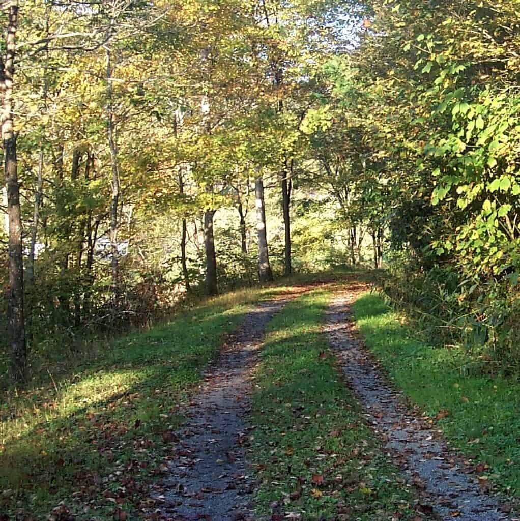
Spanning 1.8 million acres across the Appalachian Mountains of Virginia, West Virginia, and Kentucky, this combined national forest ranks among the largest public lands in the Eastern United States. The 1995 merger of these two historic forests created a continuous wilderness corridor that includes 330 miles of the Appalachian Trail, stretching from the southern boundary of Shenandoah National Park along the scenic Blue Ridge Parkway.
Nearly one million acres remain remote and undeveloped, with over 139,000 acres designated as protected wilderness areas where no future development is permitted. This preservation ensures pristine backcountry experiences increasingly rare on the East Coast.
Activities: The forest draws hikers to hundreds of miles of maintained trails beyond the AT, while mountain bikers find challenging terrain on designated routes. Hunting remains a significant draw, with the forest supporting populations of white-tailed deer, wild turkey, and black bear across its diverse elevations.
Best Time to Visit: Fall brings spectacular foliage displays across the Appalachian ridges, typically peaking mid-October. Spring wildflower season (April–May) transforms forest floors with trilliums and mountain laurel. Summer offers relief from lowland heat at higher elevations, though afternoon thunderstorms are common.
Access: Multiple entry points exist via the Blue Ridge Parkway, Interstate 81, and numerous state routes. The forest’s western sections in West Virginia and Kentucky see fewer visitors, offering more solitude for backcountry camping and exploration.
Explore Nearby
- Falling Spring Falls State Park — State Park in Virginia
- Douthat State Park — State Park in Virginia
- Highland Scenic Highway — Scenic Byway in West Virginia
- Blue Ridge Parkway — Scenic Byway in North Carolina
- Wood Thrush Trail — Public Land in Virginia