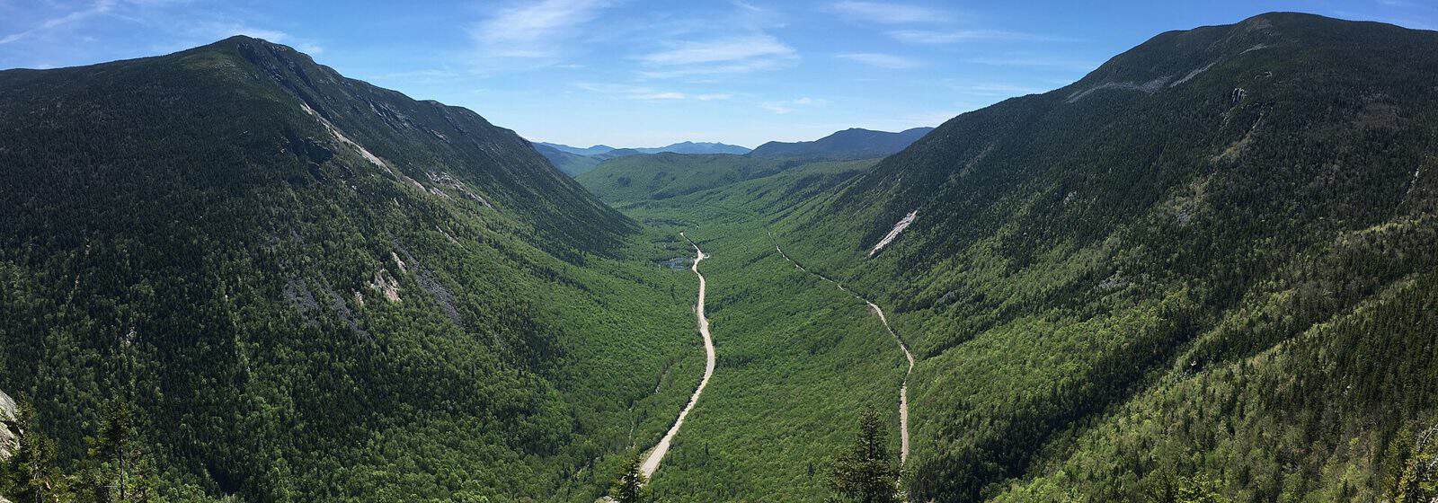
Mount Washington State Park sits at the summit of the highest peak in the northeastern United States, where 6,288 feet of elevation delivers some of the most dramatic weather and sweeping views anywhere in New England. This compact 60.3-acre park in Coös County occupies one of the most storied mountaintops in American hiking history — a place where wind speeds once reached a world-record 231 mph.
The centerpiece is the Sherman Adams Summit Building, where visitors can explore exhibits on Mount Washington’s extreme meteorology, grab a hot meal at the cafeteria, and take in 360-degree panoramas that stretch across four states on clear days. The Presidential Range unfolds in every direction, with the Great Gulf Wilderness dropping steeply to the north and the Lakes of the Clouds visible along the Appalachian Trail to the south.
Getting here is part of the adventure. Drive the Mount Washington Auto Road from the east side, or hike one of several trails — Tuckerman Ravine and the Ammonoosuc Ravine Trail being the most popular. The Cog Railway approaches from the west for those who prefer a scenic ride. No camping is available at the summit park itself, but backcountry options exist along the surrounding trail network, and the AMC’s Lakes of the Clouds Hut sits just below the summit.
Visit between late June and early October when the Auto Road and summit building are open. Come prepared for rapid weather changes — temperatures at the top can run 30 degrees cooler than the base, and conditions shift fast. Layers and wind protection are non-negotiable, even in July.